
7 produkter
7 produkter






7 produkter
2130 Tatra
Ordinær pris 229,00 kr731 Czech Republic & Slovakia
Ordinær pris 169,00 krMichelin er en av verdens beste, og best kjente, kartserier. Kartene har glimrende kartografi. Rød serie, kalt “national”. Dekker et enkelt land eller en gruppe land primært med hovedferdselsårer.
Publisert år: 2022
Innbinding: falset
Material: papir
Målestokk: 1:600000
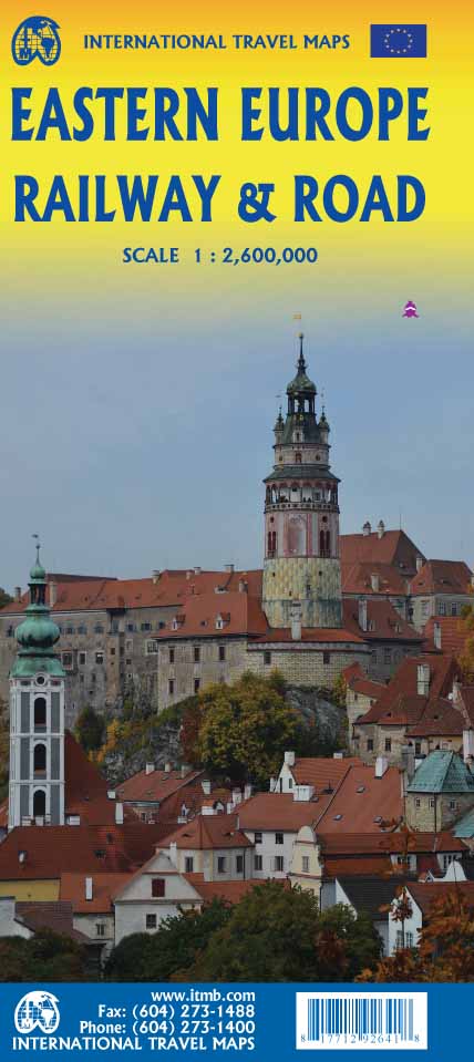
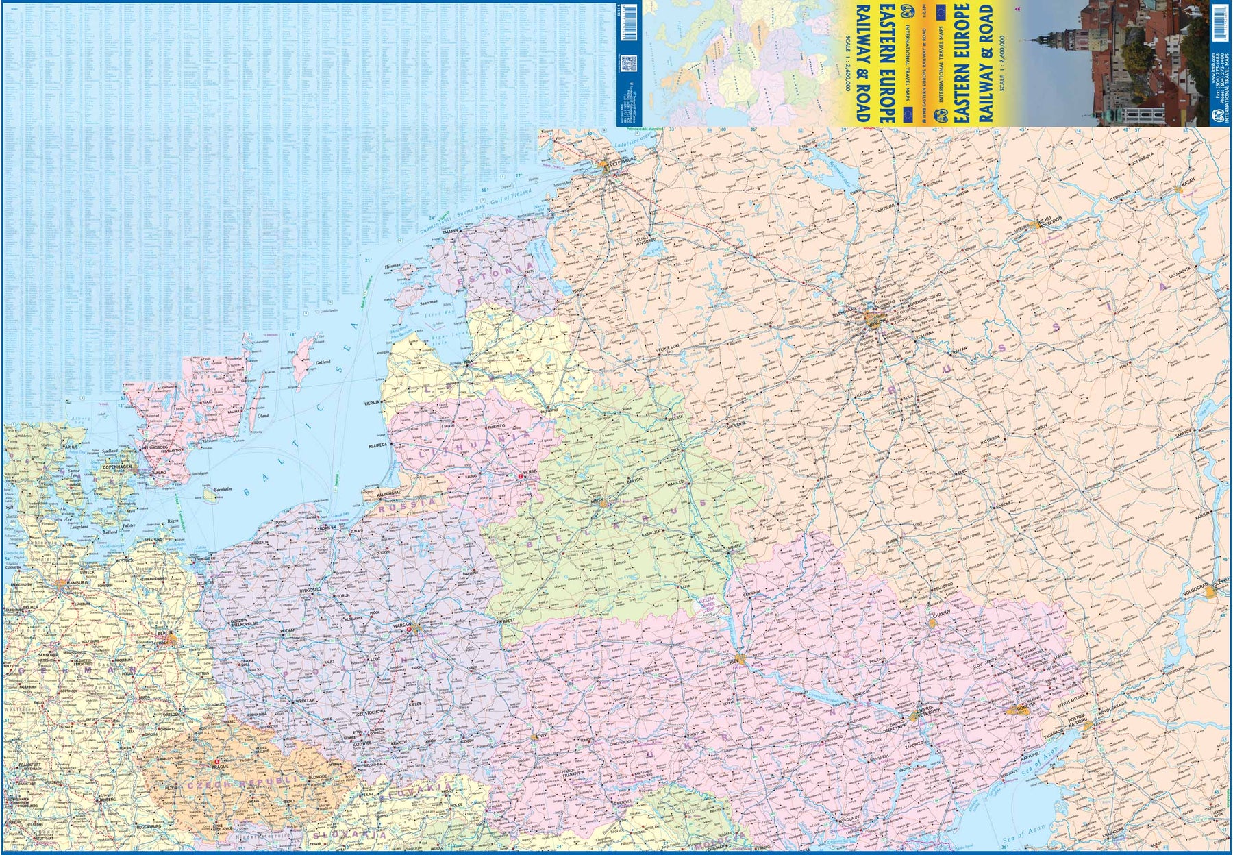
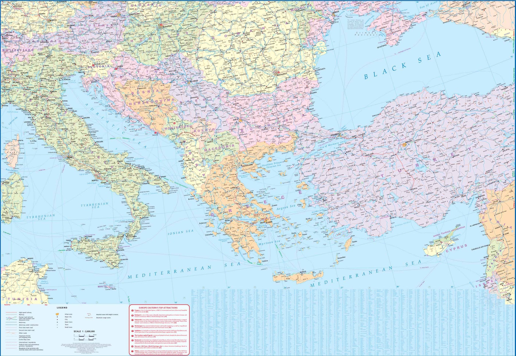
Europe Eastern: Railway & Road
Ordinær pris 199,00 krEurope may be small in comparison to Canada, but it is densely populated and difficult to map as a continent while providing detail. Eastern Europe used to be defined as everything behind the Iron Curtain during the Cold War, but now it encompasses everything east of Germany and Switzerland, which means that this map covers Italy, Greece and the Balkan countries, the Central European countries of Romania and Hungary and most of Ukraine, Poland and the three Baltic states, and western Russia as far east as Volgograd, as well as much of Turkey. It is a combined road and rail map, showing motorways and major highways, fast-train routes in red and regular services in black. It also shows major cruise line routes, although many have been suspended due to Covid and political situations in Russia and Turkey.
Essentially, this is a map covering a very large area, as are our maps of Western and Central Europe, and our earlier map of Scandinavia. We have tried to make it politically correct, which is difficult considering the Russian occupation of Crimea and the Donetsk region of Ukraine and the on-going controversy over the ‘proper’ name for Macedonia, so we apologize for any errors. For simplicity’s sake, we have named most place names in English, so Roma is Rome and Moscva is Moscow etc. Fortunately, most English place names are the same in the local languages. However, being ITMB, Naples is Napoli, and Florence is Firenze, so don’t be too critical of us; we’re trying to reconcile differing perspectives.
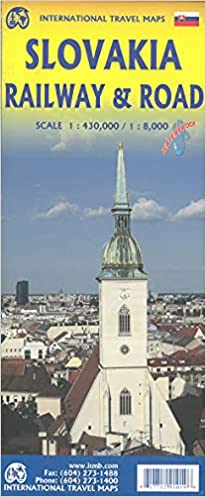
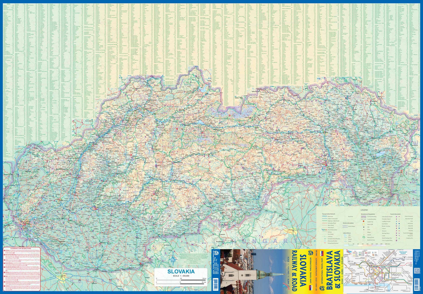
ITM, Slovakia - Railway & Road, reisekart
Ordinær pris 199,00 krVeikart over Slovakia / Bratislava
Ettersom turismen til Øst-Europa øker i popularitet, byr Slovakia på spennende muligheter for oppdagelsesreiser. ITMB har tidligere dekket landet sammen med nabolandet Ungarn, men nå har vi utvidet dekningen og inkludert et detaljert kart over Bratislava. Side 1 viser det langstrakte landet, fra grensene mot Østerrike og Tsjekkia til den stadig viktigere grensen mot Ukraina. Som vanlig har vi inkludert en oversikt over de viktigste severdighetene – deriblant byer som Košice, Banská Štiavnica og Štúrovo, samt de underjordiske karstgrottene i Demänová og eventyrslottet Bojnice. Side 2 viser hovedstaden Bratislava i detalj, inkludert elven Donau, gamlebyen og de nyere bydelene Petržalka og Ružinov. Kartet er trykt på vannfast steinpapir for god holdbarhet.
Kartforklaringen inkluderer
Veier (etter klassifisering), jernbaner, nasjonalparker, sykehus, hoteller, severdigheter, flyplasser, turistinformasjon, slott, grenseoverganger og mye mer.
Kartet viser hovedstaden Bratislava med stor detaljrikdom; her ser man blant annet elven Donau og gamlebyen, samt de nyere bydelene Petržalka og Ružinov. Kartet er trykt på vannfast steinpapir for god holdbarhet. Tegnforklaringen omfatter blant annet veier inndelt etter klassifisering, elver og innsjøer, nasjonalparker, flyplasser, severdigheter, motorveier, hovedveier, dyrehager, fiskeområder og mye mer.
Spesifikasjoner
Slovak republic
Ordinær pris 169,00 krMarco polo er svært detajerte kart som er praktiske og enkle i bruk. 7 klistremerker for å markere spesifikke steder gjør det enda enklere å planlegge reisen. Alle kartene inneholder en omfattende index for enkelt å finne frem.
Let the Marco Polo Slovak Republic Road Map guide you around this stunning country. Discover picturesque towns, glorious mountains and distinctive castles with this highly durable, detailed touring map of Slovakia. It folds away easily and is always on standby to help when you're stuck.
Perfect touring map - the scale is 1 : 300 000 ideal to help you tour the country by car or campervanEasy to use - the superbly clear mapping in strong colours and easy to read text will help you navigate the country like a localDurable, tear-resistant map - designed to withstand the rigors of the road, the map is printed on tear-resistant, water repellent and writeable paperHighlights included - major sights and key points of interest are marked on the map by numbered stars. Further information about these key sights can be downloaded via a QR code where you'll find a brief description to help you pick the best places to see en-routeDream routes - inspirational routes with beautiful scenery are included on the maps to guide you on your next adventureExtensive index - the thorough index, also included on the QR code, is fully cross-referenced to the map to help you pinpoint your destination quicklyFor the big trips and the little detours, trust Marco Polo's clear mapping and thorough index to guide you around Slovak Republic.Publisert år: 2017
Innbinding: falset
Material: papir
Målestokk: 1:300000
Utgitt: 2023