
14 produkter
14 produkter





14 produkter
Africa
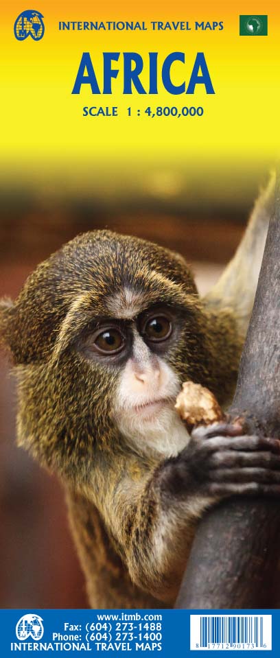
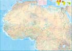
Ordinær pris 199,00 krAfrica is a huge continent. No one apart from us has successfully prepared a digital data base for the entire continent and this edition includes numerous updates to road information and shifting political realities. We have updated roads whenever reliable data indicates improvements, such as connections between the southern tip of Morocco and the road leading to Nouakchott, in Mauritania. Politically, we all know of things that do not affect maps - the closed border between Algeria and Morocco, the coup in Guinea, the continued instability of Libya, the generally better degree of stability in Somalia, the on-going troubles in South Sudan - but generally, the continent of 54 nation states and a few colonial enclaves has survived two years of destabilizing Covid ravages rather well. Tourism is gradually recovering, and map sales improving.
This is a very important map in that it brings all of the countries and islands relative to the African continent into perspective. We are pleased to bring to your attention an updated version of a part of the world that is crucially important.
Angola
Ordinær pris 199,00 krITM har kart over hele verden og de spesialiserer seg på land litt utenfor allfarvei. Beliggenheten til landets nasjonalparker, historiske monumenter, de viktigste veiene o.L. Finner du inkludert i kartene. Samtlige landkart har ofte et bykart over hovedstaden.
Fra ITM: Angola is emerging as one of Africa’s growing travel destinations. After a long period of isolation, the country now welcomes tourists, and is investing in improved infrastructure to make it easier to travel around this vast country. New resort hotels are attracting tourists to beach hotels along the coast and inland hotels are being upgraded. The road network is improving, but still is a work in progress. The USA is building a new trans-Africa railway, but its future is uncertain due to Trump’s cutbacks. The map includes a detailed inset map of Luanda, the capital, and a list of Top Attractions. Angola is still a developing country, so travel here is more adventuresome than in eastern Africa for example, but it is growing in popularity.
Publisert år: 2025
Innbinding: falset
Material: papir
Målestokk: 1:1,430,000
Egypt & Cairo kart, ITM
Ordinær pris 239,00 kr2nd Edition Following the so-called Arab spring of a few years ago, northern Africa experienced much turbulence. Egypt experienced the overthrow of the government, the installation of a radical religious-oriented replacement, and the installation of a radical religious-oriented replacement, and the installation of military governance. Tourism plummeted. Most map publishers discontinued their maps of the country. Five years later, Egypt has stabilized and tourism is growing. We feel that the time is right to re-introduce our ITMB map of Egypt.
This version focuses on the portions of the country that have been re-opened for tourism, which means from the Mediterranean coastline south to the Aswan Dam. The portion further south remains closed for the moment, as is the border crossing with Sudan. We have also unrest, as the border areas with Libya remain very unstable. However, we have provided a large inset map of Egypt, covering everything, in the area of desert. We have also added a listing of Egypt's Top tombs.
The other side of the sheet is a detailed map of Cairo, with an inset of the Giza Pyramid complex just to the west of Cairo, and another inset of the Cairo region showing all the known tombs west of the Nile River south to Helwan. The back cover is a schematic map of the rapid transit system of Cairo. There is a third inset, showing Alexandra and other associated urban areas along the coast. The maps is printed on stone paper, which is waterproof, durable, and long-lasting. It is also biodegradable.
ITM Tanzania, kart
Ordinær pris 199,00 krAfrica generally has been slower to recover economically from the Covid era, but is just as fascinating as ever. ITMB is finding that many of our maps of countries in Africa are approaching the end of their print runs and will see new editions through the rest of 2024 and into 2025. Tanzania is one of the first to be updated and refreshed. Printed on waterproof stone paper, Side 1 concentrates on the southern half of the country, from Dar es Salaam (the actual capital) south to the borders with Mozambique, Malawi, and Zambia. This is game preserve country, with Selous taking pride of place.
Side 2 concentrates on the northern portions, which are more popular. Game preserves such as Serengeti and Ngorongoro compete with Mount Kilimanjaro and Lake Victoria for attention. The islands of Pemba and Zanzibar are easy to reach from Dar. A large portion of Kenya is shown, as well as significant portions of Burundi and Rwanda. Detailed inset maps of Arusha and Stone Town are also included, as are all seven border crossings into Kenya. Tanzania is a very large country geographically, so visitors really need a map to get around.
Rwanda & Burundi
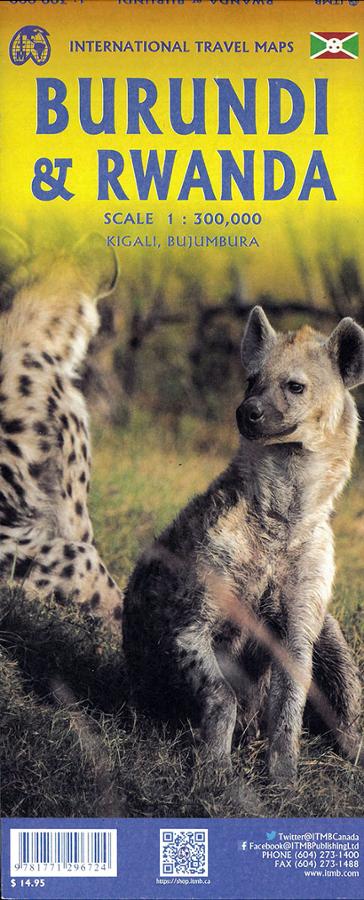
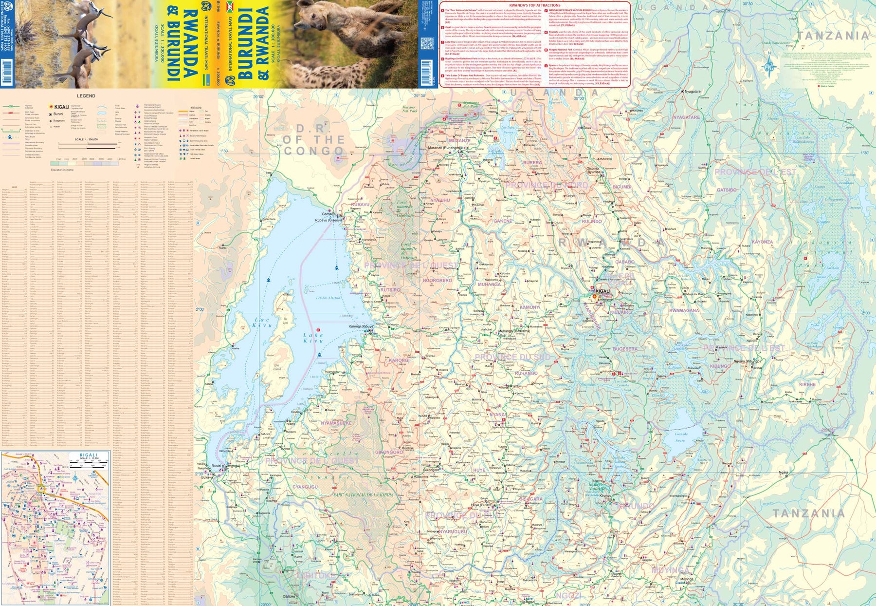
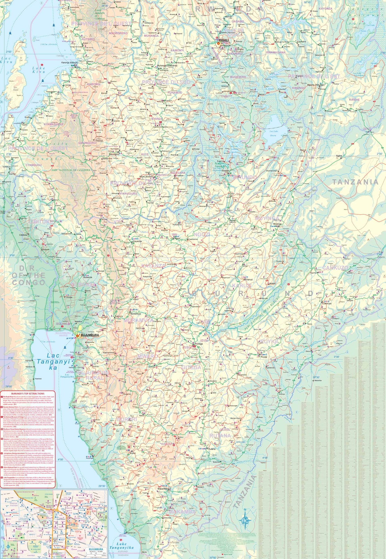
Ordinær pris 199,00 krITM har kart over hele verden og de spesialiserer seg på land litt utenfor allfarvei. Beliggenheten til landets nasjonalparker, historiske monumenter, de viktigste veiene og lignende finner du inkludert i kartene. Samtlige landkart har ofte et bykart over hovedstaden.