Triglav National Park at 1:50,000 on a contoured and GPS compatible walking and cycling map from Kartografija in Ljubljana, waterproof and tear-resistant version, with on the reverse descriptions of the area’s best sights. Coverage extends from Bovec in the west to Bled in the east, and from Kranjska Gora in the north to just short of Tolmin in the south. On the reverse are bilingual descriptions of the region’s places of interest, including special notes on the World War I Isonzo Front, plus list of mountain huts and campsites with contact details.
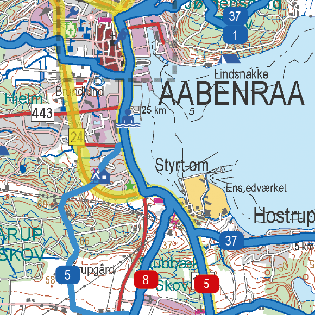
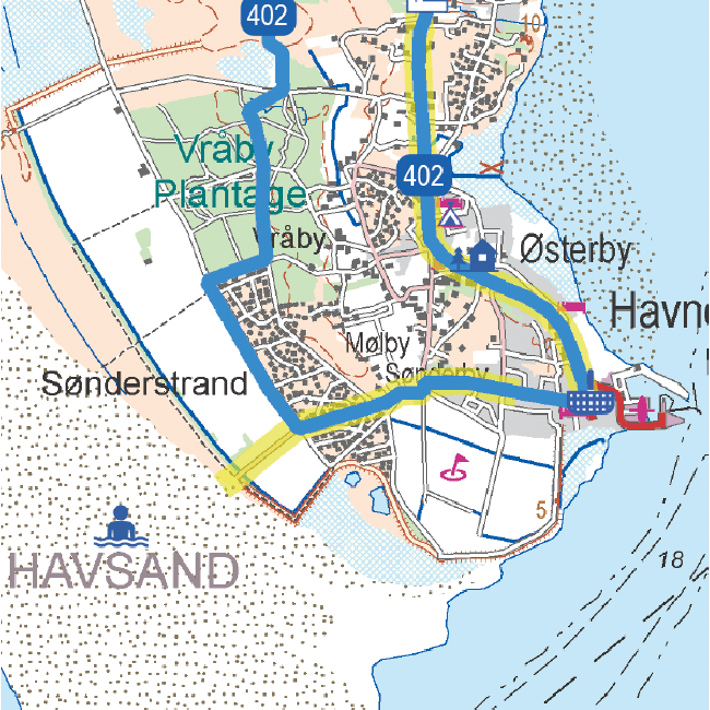
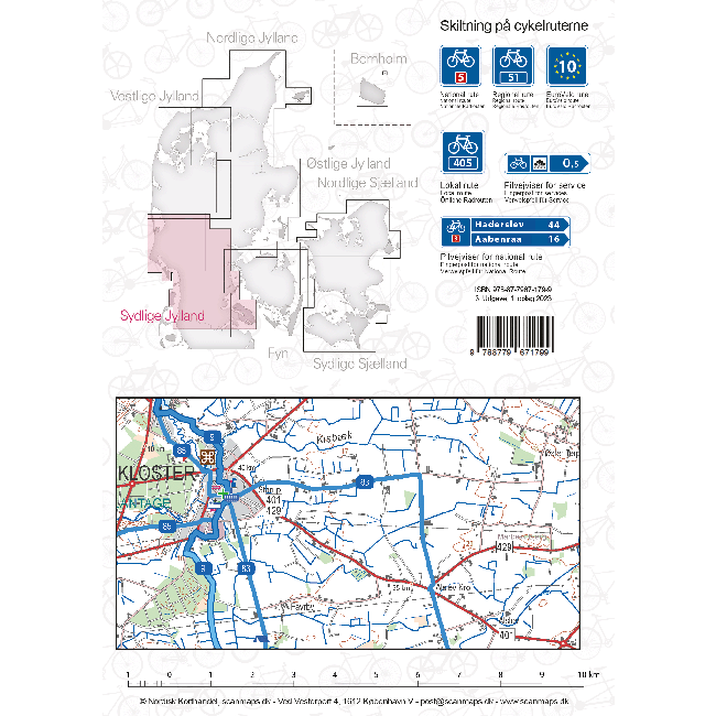
Maps in this series have contours at 20m intervals, enhanced by relief shading, with plenty of spot heights and names of peaks, mountain chains, etc. Local hiking routes are highlighted, indicating difficult passages. Also marked are recommended cycling routes. Symbols indicate various types of accommodation including mountain huts, campsites, inns with lodgings, tourist farms or apartments, hotels and motels, as well as recreational facilities (golf, horse riding, swimming pools, etc), vineries, cultural and historical sites, etc. Road network indicates locations of petrol stations. Railway lines are shown with stations and various types of mountain transport (gondolas, chair lifts, etc) are marked. The maps have a latitude and longitude grid at intervals of 2’’.
- Publisert: 2024
- Innbinding: Falset
- Materiale: Vannfast papir
- Målestokk: 1:50 000