48 produkter
Malta: Liesertal Maltatal
Ordinær pris 189,00 krDette store østerriske kartforlaget er kjent for sin klare kartografi og gode papirkvalitet. De kommer i alle målestokker, og flere av landkartene inneholder bykart og turistinformasjon.
Mexico
Ordinær pris 189,00 krDette store østerriske kartforlaget er kjent for sin klare kartografi og gode papirkvalitet. De kommer i alle målestokker, og flere av landkartene inneholder bykart og turistinformasjon.
Publisert år: 2018
Innbinding: falset
Material: papir
Målestokk: 1:2000000
Middle East
Ordinær pris 199,00 krMiddle East at 1:2,000,000 from Freytag & Berndt, with a separate index booklet also providing street plans of central districts of Amman, Cairo, Damascus, Nicosia and Tehran. City names are in their local versions, with English equivalents shows where necessary (Dimashs/Damascus, Bur Said/Port Said, Halab/Aleppo, Al Mawsul/Mosul, etc.).
Topography is shown by relief shading with additional colouring/graphics for salt flats, rock or sand deserts, etc. National boundaries are prominently marked and within most countries internal administrative borders are also shown (without names of the provinces). Road network includes selected local and desert tracks, Driving distances are shown on main routes and border crossings are clearly marked. The map also shows principal railway lines, ferry routes and local airports. Also marked are oil fields and pipelines.
Latitude and longitude lines are drawn at 1° intervals. The index, in a separate booklet attached to the map cover, lists all locations by country. Map legend includes English.
Myanmar (Burma)
Ordinær pris 189,00 krDette store østerriske kartforlaget er kjent for sin klare kartografi og gode papirkvalitet. De kommer i alle målestokker, og flere av landkartene inneholder bykart og turistinformasjon.
Burma (Myanmar) at 1:1,000,000 on a large, double-sided, indexed road map from Freytag & Berndt, with clear presentation of the country’s road network, its topography, various places of interest and its administrative divisions.
The map divides the country north/south, with a good overlap between the sides. Coverage includes the western part of Thailand with Bangkok and Chiang Mai and extends south to Phuket. Relief shading with spot heights shows the country’s topography. National parks and other protected areas are highlighted. Road network includes selected unpaved roads and local tracks; driving distances are indicated on main routes and locations of border crossings are marked. The map shows railway lines and local airports, as well as the country’s internal administrative boundaries with names of the provinces. Also marked are oil fields and pipelines. Small icons clearly highlight various places of interest. The map has latitude and longitude lines at intervals of 1º and an extensive index. Multilingual map legend includes English.
Publisert år: 2018
Innbinding: falset
Material: papir
Målestokk: 1:1200000
Norway: Central
Ordinær pris 189,00 krTrondheim - Lillehammer - Ålesund
Norway: North
Ordinær pris 199,00 krNorway: North Cape
Ordinær pris 199,00 krVeikart over nordlige deler av Norge. Inkluderer blant annet Nordkapp, Hammerfest, Alta, Kautokeino og Kirkenes.
Portugal: Azores Walking & Cycling Map Set
Ordinær pris 219,00 krRussia: Moscow
Ordinær pris 169,00 krDette store østerriske kartforlaget er kjent for sin klare kartografi og gode papirkvalitet. De kommer i alle målestokker, og flere av landkartene inneholder bykart og turistinformasjon.
Street plan of Moscow showing hotels, theatres, metro stations, bus route numbers and much besides. Minor streets are named in the Russian alphabet (so you can read the street signs) with major streets in Russian and Roman script. The main landmarks are named in Russian and English. An enlargement of the city centre is included, and also a further enlargement of the Kremlin and its immediate environs.
Publisert år: 2016
Innbinding: falset
Material: papir
Målestokk: 1:20000
Serbia North
Ordinær pris 189,00 krDette store østerriske kartforlaget er kjent for sin klare kartografi og gode papirkvalitet. De kommer i alle målestokker, og flere av landkartene inneholder bykart og turistinformasjon.
Northern Serbia at 1:200,000 on a large, detailed, double-sided road map from Freytag & Berndt, with its index booklet also providing street plans of central Belgrade, Kragujevac and Novi Sad. Coverage extends south to northern point in the border with Montenegro, with Belgrade included on both sides of the map. Names of towns and villages are in both Cyrillic and Latin alphabet.
Topography is indicated by relief shading with spot heights, plus colouring for the forested areas; names of geographical features such as mountain ranges, etc. are mainly in the Latin alphabet only. The map shows the road network in much detail, including driving distances on many small local roads, steep gradients, roads with seasonal closures or restricted traffic, motorway services, etc. Railway lines are shown with stations and domestic airports are marked. Symbols indicate various places of interest, including campsites and youth hostels. The map has latitude and longitude lines at 10’ intervals. Multilingual map legend includes English.
Publisert år: 2020
Innbinding: falset
Material: papir
Målestokk: 1:200000
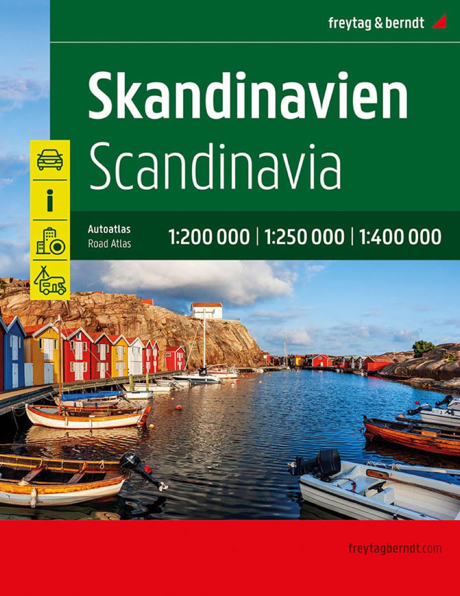
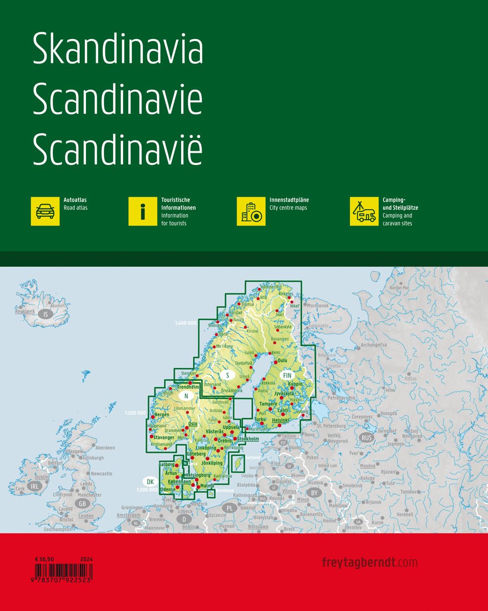
Skandinavia
Ordinær pris 499,00 krVeiatlas over Skandinavia fra Freytag & Berndt.
Spain - El Hierro
Ordinær pris 189,00 krDette store østerriske kartforlaget er kjent for sin klare kartografi og gode papirkvalitet. De kommer i alle målestokker, og flere av landkartene inneholder bykart og turistinformasjon.
The island of Hierro at 1:30,000 on a contoured, GPS compatible tourist map from Freytag & Berndt highlighting various places of interest, as well as waymarked hiking routes. Contours at 50m intervals are enhanced by bold relief shading and names of numerous peaks to provide a very clear picture of the island’s topography.
Road network includes local roads and country tracks, indicating locations of petrol stations and driving distances on main routes. Picturesque towns and villages or sites are clearly highlighted, and symbols mark other places of interest including beaches, campsites, viewpoints, lizard reserves, etc. Also provided is a list of bus routes.
Publisert år: 2019
Innbinding: falset
Material: papir
Målestokk: 1:30000
Spain: Fuerteventura
Ordinær pris 199,00 krThis detailed recto/verso road map of Fuerteventura is very suitable for planning and traveling around the country. The road network is well represented, both the main roads, provincial and local roads. Road numbers are also clearly stated. Distances between places are marked on the map in kilometers, and gas stations are also marked in important places.
Shadow shows the relief and sometimes some points with the actual height. Province borders, national parks and reserves are easy to find. Symbols indicate the location of tourist sites, monuments, historically important places and viewpoints. In certain places you can find hotels and campsites, airports, train connections and ports.
Spain: La Palma
Ordinær pris 169,00 krDette store østerriske kartforlaget er kjent for sin klare kartografi og gode papirkvalitet. De kommer i alle målestokker, og flere av landkartene inneholder bykart og turistinformasjon.
Clear road map of La Palma from Freytag & Berndt showing its road network with main places of interest and hiking trails, plus street plans of Santa Cruz de la Palma, Los Cancajos, Puerto Naos and Los Llanos de Ariadne.
Publisert år: 2024
Innbinding: falset
Material: papir
Målestokk: 1:40000
Spain: Lanzarote
Ordinær pris 199,00 krDette store østerriske kartforlaget er kjent for sin klare kartografi og gode papirkvalitet. De kommer i alle målestokker, og flere av landkartene inneholder bykart og turistinformasjon.
Spain: Mallorca
Ordinær pris 199,00 krMajorca at 1:50,000 on a large, double-sided, contoured map from Freytag & Berndt, with highlighting for scenic roads and tourist routes, plus a booklet with a GPS-annotated index, street plan of central Palma, and multilingual descriptions of the island’s best sights.
Sweden: South
Ordinær pris 199,00 krDette store østerriske kartforlaget er kjent for sin klare kartografi og gode papirkvalitet. De kommer i alle målestokker, og flere av landkartene inneholder bykart og turistinformasjon.
Kartet dekker området rundt Malmø
Sweden: Southeast
Ordinær pris 199,00 krDette store østerriske kartforlaget er kjent for sin klare kartografi og gode papirkvalitet. De kommer i alle målestokker, og flere av landkartene inneholder bykart og turistinformasjon.
Kartet dekker områder rundt Stockholm, Uppsala og Linköping.
Upper Austria
Ordinær pris 199,00 krNorth Macedonia
Ordinær pris 199,00 krDette store østerriske kartforlaget er kjent for sin klare kartografi og gode papirkvalitet. De kommer i alle målestokker, og flere av landkartene inneholder bykart og turistinformasjon.
Macedonia at 1:200,000 on a large map in Freytag & Berndt’s “Top 10 Tips” series with the index booklet also providing multilingual descriptions of the country’s 10 most interesting locations, plus a street plan of central Skopje.
Names of towns and villages are in both Latin and Cyrillic alphabets; administrative regions, geographical features and places of interest are in the Latin alphabet only.
Topography is presented by relief shading and spot heights, with names of mountain ranges, peaks, etc, plus colouring for woodlands. Road network includes local roads and selected cart tracks, indicates border crossings, and gives driving distances on most local roads. Scenic routes are highlighted. Railway lines are shown with stations. The map also shows the country’s internal administrative boundaries.
Picturesque locations and other places of interest are highlighted and the map also indicates the country’s 10 best sights which are given multilingual descriptions in the booklet. Latitude and longitude lines are drawn at 10’ intervals. The index lists locations with their postcodes. The booklet also includes a street plan of central Skopje.
Publisert: 2025
Innbinding: falset
Material: papir
Målestokk: 1:200000