3 produkter
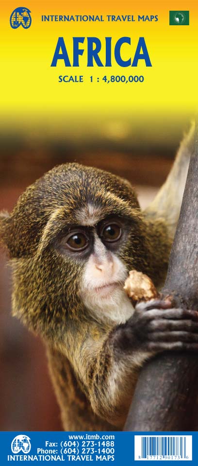
Africa
Ordinær pris 199,00 krAfrica is a huge continent. No one apart from us has successfully prepared a digital data base for the entire continent and this edition includes numerous updates to road information and shifting political realities. We have updated roads whenever reliable data indicates improvements, such as connections between the southern tip of Morocco and the road leading to Nouakchott, in Mauritania. Politically, we all know of things that do not affect maps - the closed border between Algeria and Morocco, the coup in Guinea, the continued instability of Libya, the generally better degree of stability in Somalia, the on-going troubles in South Sudan - but generally, the continent of 54 nation states and a few colonial enclaves has survived two years of destabilizing Covid ravages rather well. Tourism is gradually recovering, and map sales improving.
This is a very important map in that it brings all of the countries and islands relative to the African continent into perspective. We are pleased to bring to your attention an updated version of a part of the world that is crucially important.
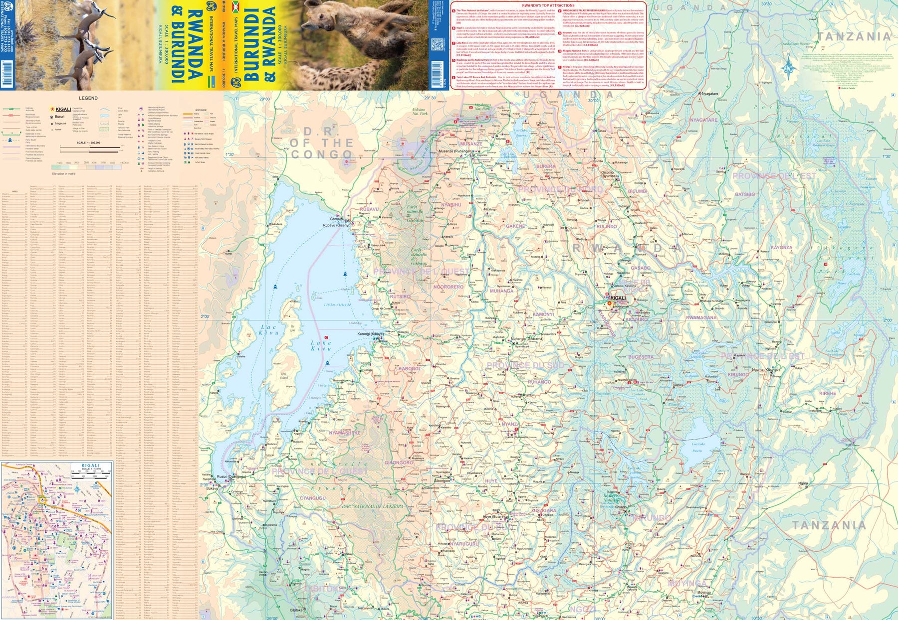
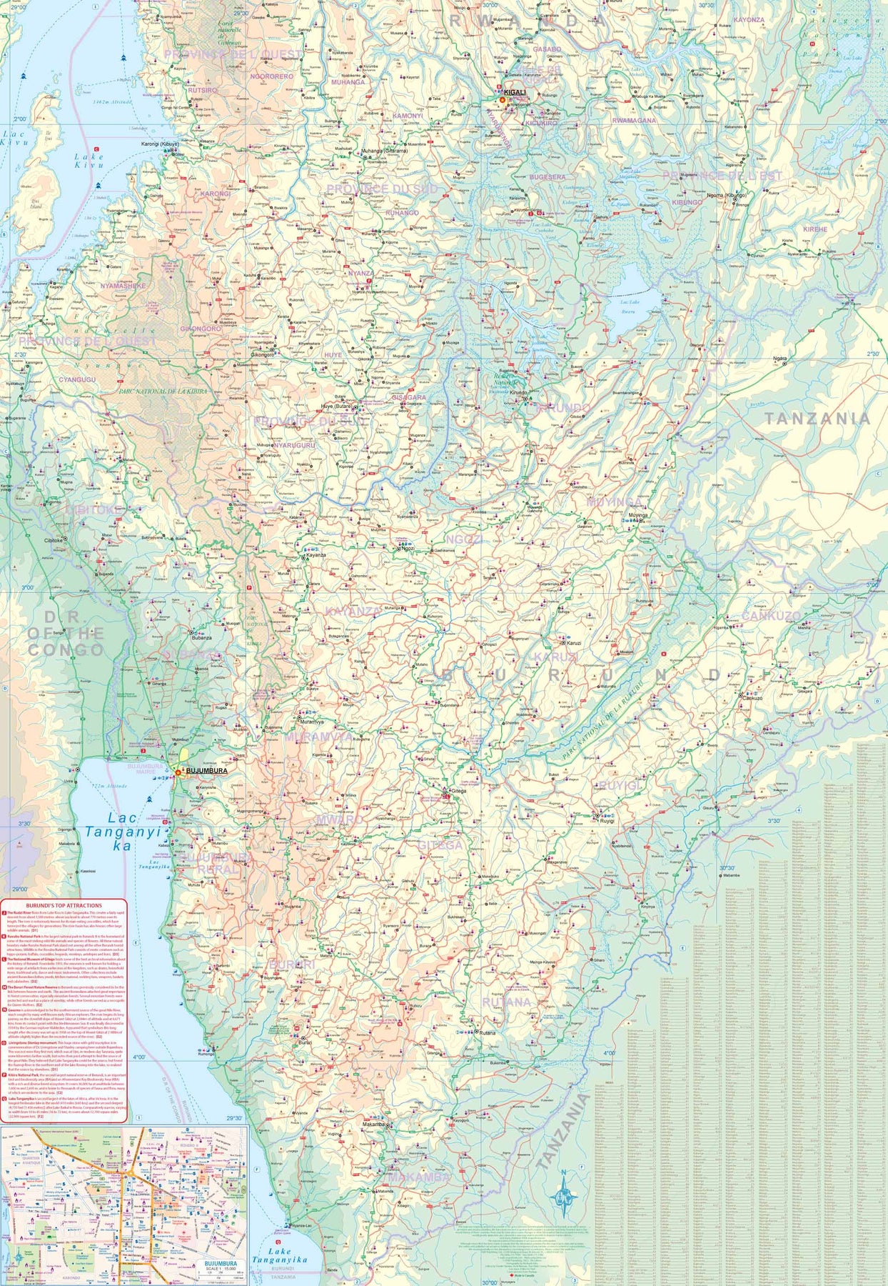
Rwanda & Burundi
Ordinær pris 199,00 krITM har kart over hele verden og de spesialiserer seg på land litt utenfor allfarvei. Beliggenheten til landets nasjonalparker, historiske monumenter, de viktigste veiene og lignende finner du inkludert i kartene. Samtlige landkart har ofte et bykart over hovedstaden.
Lesotho & Swaziland (Eswatini)
Ordinær pris 169,00 kr Salgspris 84,50 kr Spar 50%ITM har kart over hele verden og de spesialiserer seg på land litt utenfor allfarvei. Beliggenheten til landets nasjonalparker, historiske monumenter, de viktigste veiene o.L. Finner du inkludert i kartene. Samtlige landkart har ofte et bykart over hovedstaden.
Fra ITM: ITM is pleased to re-introduce their coverage of two countries of africa that are fairly unique. Both were well-established entities when settlers arrived, and both were able to maintain their identities throughout the colonial era, as protectorates. Lesotho is quite mountainous, with a poorly developed road network, so is a travel adventure destination. It occupies side 1, along with an inset of maseru, the capital. Swaziland, which has recently changed its name for local purposes to eswatini, occupies side 2, with an inset of mbabane, its capital. Both countries are easy to access from south africa, and are well worth visiting. We have also added two lists showing the top attractions of both countries. Both are land-locked countries either adjacent to or surrounded by south africa; both are essentially agricultural countries, although lesotho s mountainous terrain offers considerable touristic appeal, particularly the sani pass. Legend includes: Highway, main road, secondary road, street, pathway, railway, park, lake, international airport, gas station, church, hotel, museum, library, restaurant, shopping, police station, bank, school, stadium, bus terminal, golfing, etc. 2nd edition 2019. Scales: Lesotho 1:350.000, swailand 1:200.000.
Publisert år: 2019
Innbinding: falset
Material: papir
Målestokk: 1:350000