34 produkter
34 produkter


34 produkter
Road Atlas: USA - Canada - Mexico Large Format (A3)
Ordinær pris 189,00 krHighlighting 51 road trips and scenic drives the Michelin's updated Large Format North America Road Atlas 2026 helps you enjoy the planning and the journey. Large-format maps and larger lettering for towns and sites (compared to the midsize atlas) make for easier reading while the tiled format flows maps from page to page—the ideal complement to GPS and online directions. Four jam-packed pages highlight selected US and Canadian national parks, with points of interest, hikes and drives.
Covers US, Canada & Mexico. Large grid map to quickly locate atlas pages. Easy-read text and mapping.
Map pages are 36% larger than midsize atlas. Inspired ideas for outdoor fun and road trip adventures in the US and Canada with four jam-packed pages highlighting selected national and provincial parks. Michelin's renowned travel guides are the resource for points of interest, hikes and scenic drives.
Tiled atlas format: user-friendly, convenient and logical to use, offering continuity when driving and providing the big picture to round out GPS and online directions. Detailed place name index to quickly pinpoint destinations and sights. 50+ large-scale city maps for navigating in and around cities.
Distance chart for major US and Canadian cities, as well as convenient city-to-city mini distance chart on each two-page map spread, for more effective trip planning. Tire tips to improve consumer driving safety.
2186 Veibok Norge
Ordinær pris 399,00 krAtlas: France
Ordinær pris 349,00 krMichelin's France Road Atlas A4 is the perfect companion for safe and enjoyable drive in France. Convenient and easy to use thanks to the spiral bound cover, Michelin France Atlas will provide you with precise and reliable information with its updated mapping scaled 1/200 000 (1 cm = 2 km). Smart and practical, this atlas includes tourist sights, leisure facilities and scenic routes recommended in the famous Michelin Green Guide as well 40 embedded city plans plus 16 with QR codes for easy access to your smartphone for online mapping and tourist information!Michelin's checklist will help you prepare your journey before your leave and Michelin's safety alerts will warn you about dangerous driving areas, such as steep hills and level crossing.
Michelin's route planner as well as the time and distance charts will help you plan and optimise your journey. Michelin's France road atlas will make sure that you make the most of your journey in France!Michelin's France tourist and motorist atlas (A4 spiral) features:* Scale 1/200 000* Spiral bound for lay-flat convenience. * Time & distance charts* Route planner with major itineraries* Tourist sights and scenic drives pulled directly from Michelin's famous Green Guide travel series using the embedded QR codes.
* Extensive place name index for rapid look-up* Location map on top of each page for an easier navigation within the atlas* 40 City maps embedded in the map of their surrounding areas with QR code to guide you through the last few miles of your journey with your smartphone plus 16 QR codes for city plans on your phone
Atlas: USA, Canada, Mexico - Adventure Edition
Ordinær pris 429,00 krNational Geographic's Road Atlas: Adventure Edition, is the ideal companion for the next time you hit the road. Includes up-to-date road maps for all 50 U.S. States, plus Canada, Mexico, and Puerto Rico. Major cities and metropolitan areas are shown in detail with inset maps that include popular attractions, infrastructure and points-of-interest.
Setting this atlas apart from all other road atlases are the inclusion of detailed maps and guidebook-like recommendations on the top 100 destinations for adventure, plus the top 24 most visited National Parks. An additional resources section provides contact information for local tourism offices, plus a place name index to help easily locate a specific city.
The Road Atlas: Adventure Edition is printed in the United States and features a heavy duty spiral binding and Travel Tough a tear-resistant cover for durability and lay-flat reading.
Atlas: USA, Canada, Mexico - Scenic Drives Edition
Ordinær pris 229,00 krNational Geographic's Road Atlas: Scenic Drives Edition, is the ideal companion for the next time you hit the road for an unforgettable road trip. Includes up-to-date road maps for all 50 U.S. States, plus Canada, Mexico, and Puerto Rico.
Major cities and metropolitan areas are shown in detail with inset maps that include popular attractions, infrastructure and points-of-interest. Setting this atlas apart from all others is the inclusion of selection of 20 carefully researched scenic drives to help you plan the road trip of a lifetime. A map and guide section is also included for the 20 most popular National Parks.
Take the guesswork out of traveling and trip planning with a comprehensive index, mileage charts, and cross-referenced pages. The Road Atlas: Adventure Edition is printed in North America and it is a convenient letter-size format that fits comfortably into glove compartments or car side door pockets.
Balkans Western Road Atlas
Ordinær pris 449,00 krDette veiatlaset er lett å lese. Med mange symboler gis det informasjon fra blant annet campingplasser, fergetilbud og (ungdoms)herberger.
Veinettet er godt representert, både hovedveier, provinsveier og lokalveier. Veinummer er også tydelig oppgitt. Avstander mellom steder er markert på kartet i kilometer, og bensinstasjoner er også markert på viktige steder.
Shadow viser relieffet og noen ganger noen punkter med den faktiske høyden. Provinsgrenser, nasjonalparker og reservater er enkle å finne. Symboler indikerer plasseringen av turiststeder, monumenter, historisk viktige steder og utsiktspunkter. Enkelte steder kan du finne hoteller og campingplasser, flyplasser, togforbindelser og havner.
Bilatlas Norge 2022
Ordinær pris 399,00 krBritain & Northern Ireland
Ordinær pris 379,00 krFreytag & Berndt veiatlas over Storbritannia og Nord-Irland.
Caribbean Islands Atlas - West Half
Ordinær pris 169,00 krItm har kart over hele verden og de spesialiserer seg på land litt utenfor allfarvei. Beliggenheten til landets nasjonalparker, historiske monumenter, de viktigste veiene o.L. Finner du inkludert i kartene. Samtlige landkart har et bykart over hovedstaden.
1st Ed. 2013 160 pages, with a spine; scale varies The Caribbean is a particularly difficult part of the world to map effectively. It is a combination of larger islands in the west and a string of small islands in the east. Some can be shown as separate maps, but others are too small (or too lacking in market appeal) to be mapped adequately as folded paper maps. This atlas covers the Bahamas and the Turks and Caicos Islands in the north with Cuba, the Cayman Islands, Jamaica, the Dominican Republic, and Puerto Rico in scales ranging from 1:18,000 for Puerto Rico to 1:600,000 for Cuba The atlas is the same size as all ITM atlases (8 x5 or 21x13.5cm) and has a straight spine edge with title for displaying spine outwards on store shelves, if desired. Essentially, this atlas covers six different areas mapped by ITMB folded maps and adds the Turks area. Inset maps of Freeport, Nassau, Havana, Varadero, Georgetown, Kingston, Port Au Prince, Santo Domingo, and San Juan are included. The level of detail is identical with ITM s folded maps; this is a marketing concept for those wishing the convenience of information in a convenient book format, with no loss of detail.
Publisert år: 2013
sider nr: 157
Innbinding: hft
Material: papir
Målestokk: various
CK70 Oslo kartboka
Ordinær pris 329,00 krOslokartboka gir informasjonene for å kunne reise i Oslo og det sentrale Viken, med alle buss-, trikk- tog- og t-bane-holdeplassene med navn og rutenummer. Dessuten vises både sykkelveier og bomstasjoner tydelig. Stort register med over 27 000 navn!
Compact World Atlas
Ordinær pris 199,00 krColourful maps, flags and fascinating insights make this pocket sized atlas an ideal source of information about our ever changing world. Arranged in two main sections - a world atlas and country factfile - the Pocket A-Z World Atlas provides an invaluable source of accurate, informative and interesting geographical information, all in one compact and affordable volume. The atlas section, arranged by continent, presents over 70 colourful, clearly labelled, easy-to-read regional maps showing all the world's nations, combining digital landscape modelling with the most important roads, railways, rivers, and settlements.
Each map is annotated with fascinating 'insight' facts that reveal a wealth of amazing information from around the world. The second section comprises a comprehensive series of country profiles, arranged alphabetically, covering all the essential facts and figures, including details of geography, climate, society, and economics. This section also contains reference factfile data for every nation, including the national flag, total area, population, languages, religions, and currency.
Europa
Ordinær pris 299,00 krThis road atlas is easy to read. With many symbols information is given from, among other things, campsites, ferry services and (youth) hostels.
The road network is well represented, both the main roads, provincial and local roads. Road numbers are also clearly stated. Distances between places are marked on the map in kilometers, and gas stations are also marked in important places.
Shadow shows the relief and sometimes some points with the actual height. Province borders, national parks and reserves are easy to find. Symbols indicate the location of tourist sites, monuments, historically important places and viewpoints. In certain places you can find hotels and campsites, airports, train connections and ports.
Reference World Atlas
Ordinær pris 449,00 krPacked with more than 640 high-definition maps and over 950 illustrations and diagrams, this is the ultimate world atlas. Fully revised and updated edition to encompass recent world events, this extensive atlas is an invaluable reference for home, school, and office. This atlas of the world includes:- More than 640 high-definition, updated regional and world-wide maps based on the latest digital mapping and satellite data - Over 950 high-quality illustrations and diagrams- 3D terrain models that reveal physical features- Wide range of popular topics in the world from the solar system and the world's oceans, to global climate and landscape, and states and boundaries- Key geographical facts including population density, detailed infrastructure and transportation information, and time zones - A comprehensive index that contains more than 80,000 place names- Special 24-page feature section with detailed mapping of the British Isles (UK Edition)This indispensable atlas book opens with a wonderful introduction to our world with a series of maps that illustrate its physical, political, economic, and demographic geography.
As you continue to turn the pages, you'll soon discover that this atlas is unlike any other. This engaging home learning resource delivers superb cartography through beautifully designed and incredibly informative maps, diagrams and photographs to provide accurate coverage of the whole world. It also contains a wealth of fascinating facts that help give a real flavour of the geography and culture of a region.
This beautiful large-format world atlas is the perfect addition to any school or family library, or even an ideal gift for geography students!
Road Atlas: Europe
Ordinær pris 249,00 krMichelin motoring atlas Europe is the perfect companion for an enjoyable and safe drive in Europe. Convenient and easy to use thanks to its spiral bound cover, Michelin motoring altas Europe covers 40 countries and will provide you with precise and reliable information with its annually updated mapping scaled 1/500,000 - 1/3,000,000 and local driving regulations. The route planner as well as the time and distance charts will help you plan and optimise your journey. Tourist sights, leisure facilities and scenic routes will add pleasure to your journey.
In addition to clear and accurate mapping, the Michelin motoring altas Europe features: Detailed mapping with a scale 1/500,000 - 1/3,000,000. Mileage chart and journey times to help you plan your journey. Key to Map Pages to quickly access your region of interest. Motoring regulations to travel in Europe. 78 town plans for easy navigation in urban areas. An extensive place name index to easily identify the destination of your choice. Comprehensive and detailed key to symbols used. Tourist information with place of interest and leisure facilities. Scenic routes, cross -referenced with the famous Michelin Green Guides, with towns underlined in green.
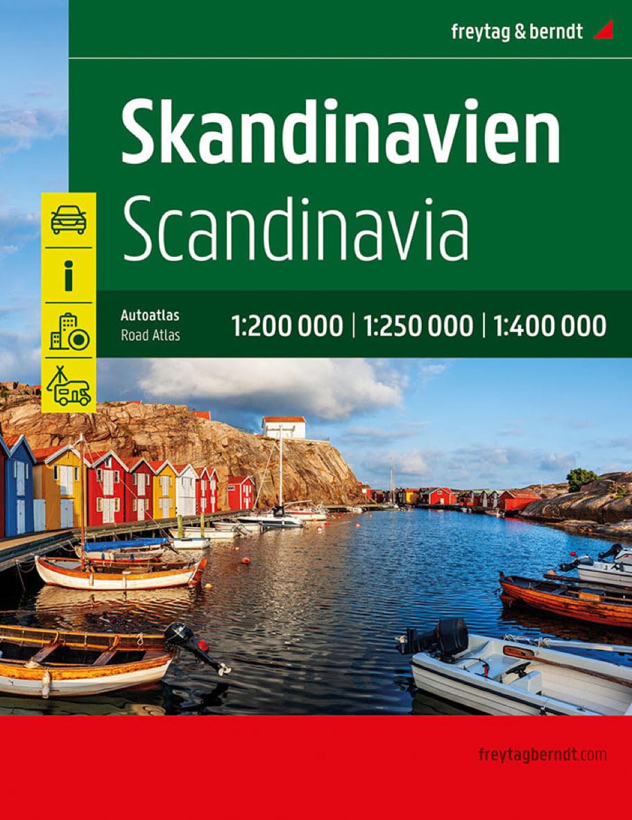
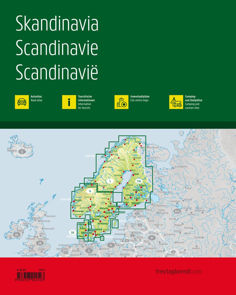
Skandinavia
Ordinær pris 499,00 krVeiatlas over Skandinavia fra Freytag & Berndt.
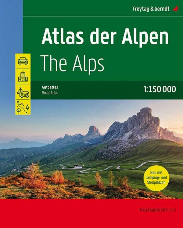
The Alps Atlas
Ordinær pris 449,00 krThe Times Atlas: Reference Atlas of the World
Ordinær pris 549,00 krNinth edition of this popular atlas from the prestigious and authoritative Times Atlas range. Includes city plans and fascinating historical maps. This world atlas contains the breadth, scale and detail to make it an ideal reference resource for school, home and business.
The atlas has been brought fully up-to-date to provide a detailed and attractive picture of the world today. The beautifully illustrated introductory section gives a detailed profile of today's world and covers major contemporary geographical and global issues - such as migration and population growth - through maps and graphics. The fully up-to-date reference maps give exceptional detail and provide accurate, accessible and attractive coverage, helping you explore the world.
Tourist & Motoring Atlas: Benelux 2024
Ordinær pris 239,00 krMichelin Road Atlas Benelux and North of France is the perfect companion for an enjoyable and safe drive. Convenient and easy to use thanks to its spiral bound cover. Michelin Road Atlas Benelux and North of France will provide you with precise and reliable information with its mapping scaled 1/150 000 for an enjoyable journey in Northern France, Belgium, Luxembourg and Netherlands.