


ITM har kart over hele verden og de spesialiserer seg på land litt utenfor allfarvei. Beliggenheten til landets nasjonalparker, historiske monumenter, de viktigste veiene o.L. Finner du inkludert i kartene. Samtlige landkart har ofte et bykart over hovedstaden.
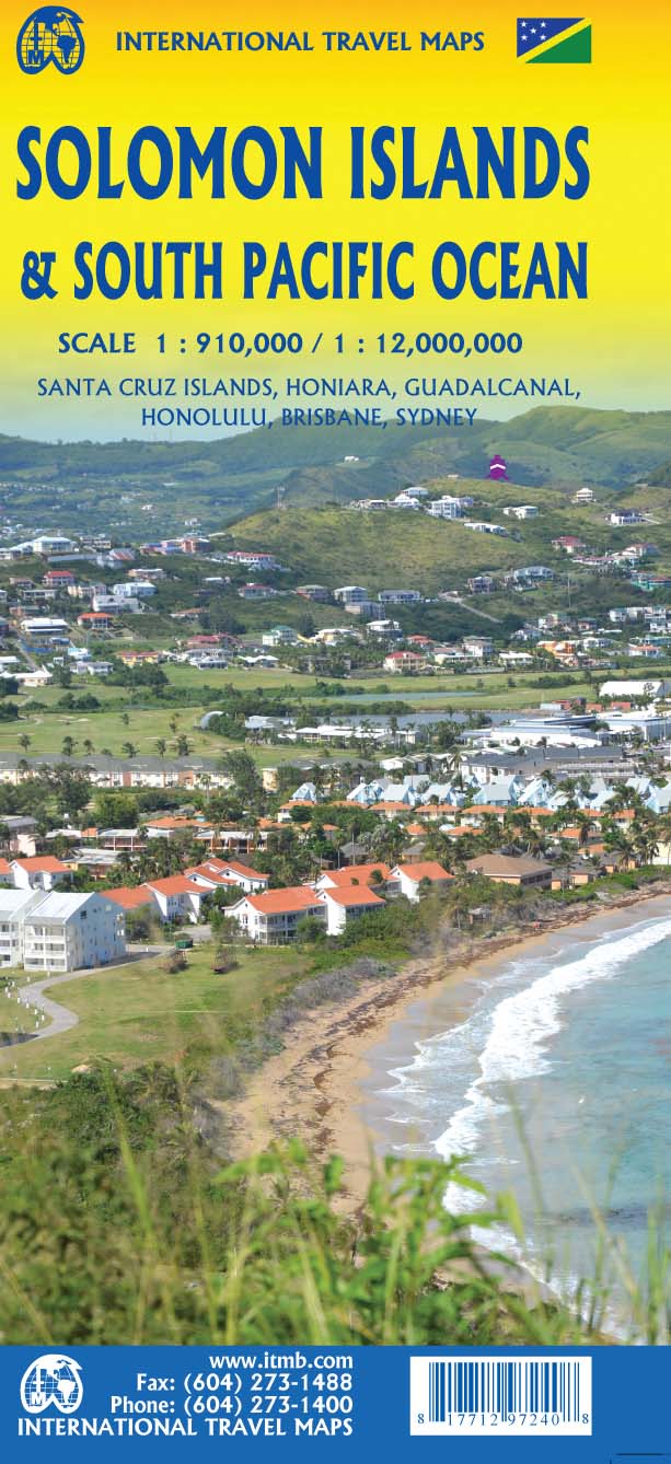
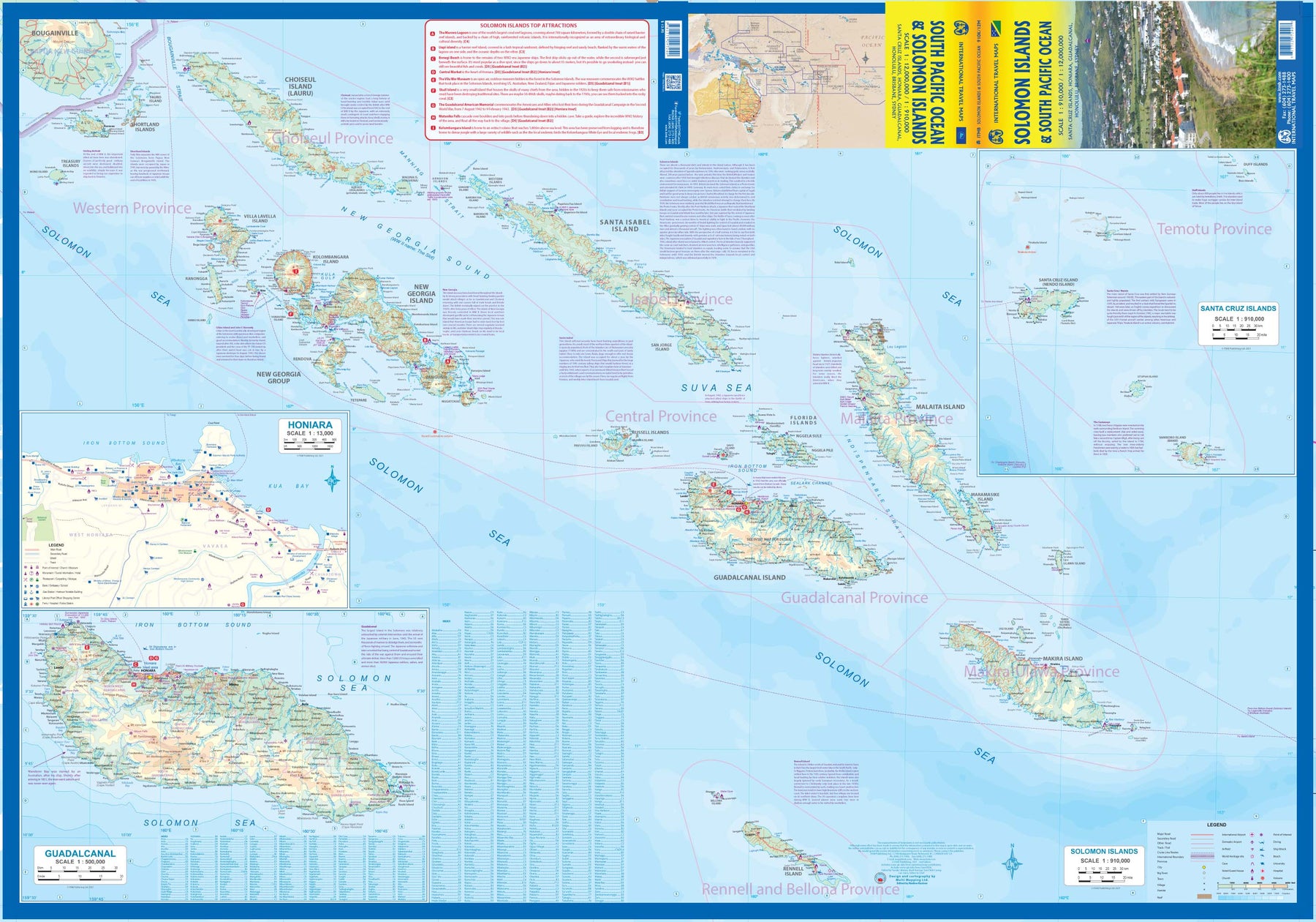
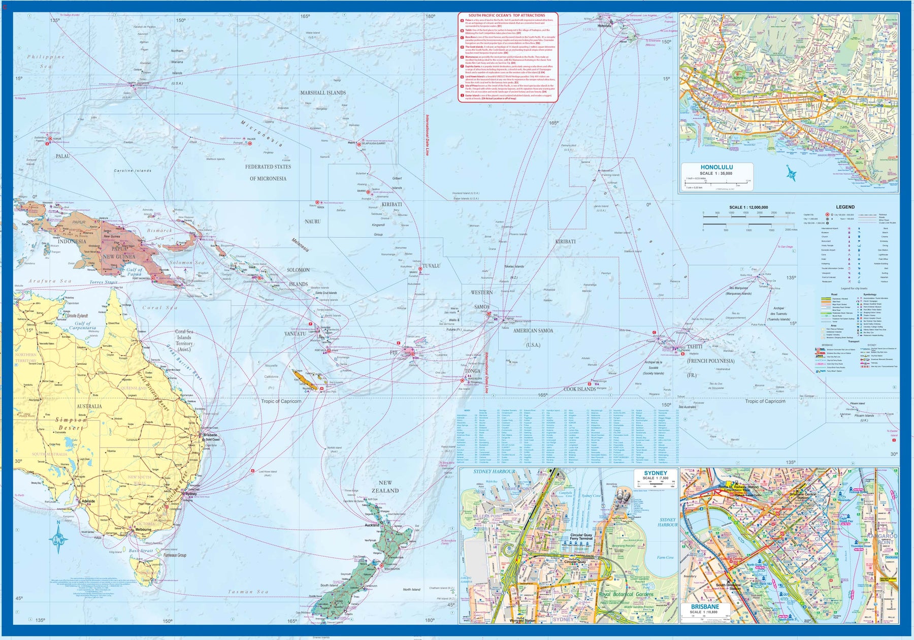
Fra ITM: The Solomon Islands are among the more popular touristic destinations of the South Pacific. Side 1 shows Guadalcanal and an inset of the capital, Honiara, and other islands made famous by fighting in WW2 - Choiseul, New Georgia, and Santa Isabel. The Santa Cruz Islands are shown as an inset. The country has been independent since 1978. Side 2 is a new venture for ITMB - a map of the entire South Pacific, showing cruise routes in the region covered, from Hawaii in the north to New Zealand in the south and from Indonesian New Guinea to the isolated Pitcairn Islands in the east. Inset maps of Honolulu, Sydney, and Brisbane are included, but a nice touch is to show underwater mounts and the way they join together the various island nations.