FRI FRAKTOrdre over 1000,-
495 produkter
785 Remstal (Stuttgart)
Ordinær pris 249,00 kr87 Breuil-Cervinia Zermatt
Ordinær pris 219,00 krPublisert år: 2024
Innbinding: falset
Material: plast laminert
Målestokk: 1:50000
9 Abruzzo e Molise
Ordinær pris 199,00 kr9 Valsavarenche; Gran Paradiso
Ordinær pris 199,00 kr Salgspris 129,00 kr Spar 70,00 kr92 Valchiavenna val Bregaglia
Ordinær pris 239,00 kr93 Bernina Valmalenco Sondrio
Ordinær pris 229,00 kr96 Bormio; Livigno - Alta Valtellina
Ordinær pris 199,00 krAlbania
Ordinær pris 199,00 krAlbania & North Macedonia
Ordinær pris 199,00 krThe ideal map for your trip. Let the Marco Polo Croatia Road Map guide you around this fascinating region of eastern Europe. Discover one of Europe's most beautiful coastlines with this highly durable, detailed, touring map of Croatia which also covers most of the Balkans. It folds away easily and is always on standby to help when you're stuck.
Albania, Kosovo & Montenegro - Hiking, Biking & Climbing
Ordinær pris 169,00 krA locally researched and produced cycling and hiking map in the border triangle Albania - Montenegro - Kosovo. Routes described in detail invite you to actively explore this largely untouched area. Places of intrest are described and illustrated on the reverse. In addition to two overview maps of the Albanian Alps, there are numerous other helpful facts about the country.
Algarve & Portugal South
Ordinær pris 199,00 krMarco Polo Algarve Map - the ideal map for your trip. Let the Marco Polo Algarve Road Map guide you around this beautiful southern region of Portugal. Discover heavenly beaches and picturesque mountain villages with this highly durable, detailed, touring map of Algarve. It folds away easily and is always on standby to help when you're stuck.
Alsace - Vosges - Black Forest
Ordinær pris 199,00 krAlsace by bike
Ordinær pris 179,00 krA map on a scale of 1:110,000 (1 cm = 1.1 km) produced in partnership with the FFvélo to discover Alsace by bike. Another way to discover Alsace! More than 177 bike routes including 60 mountain bike circuits to cover thousands of kilometers of trails. The routes classified by departments, difficulties, distances and durations. This map will delight cycle touring enthusiasts as well as mountain bike enthusiasts, from the most novice to the most experienced. An essential map for families, athletes and tourists.
Amsterdam
Ordinær pris 99,00 krKart i postkortstørrelse. Folder seg ut som en popoutbok når du åpner dem. Fargerik turistinformasjon med kart over metro og busstraseer, landemerker og lignende. Veldig enkel å håndtere.
Publisert: 2022
Innbinding: pop
Material: papp, papir
Andalucia & Costa del Sol
Ordinær pris 199,00 krMarco Polo er svært detaljerte kart som er praktiske og enkle i bruk. 7 klistremerker for å markere spesifikke steder gjør det enda enklere å planlegge reisen. Alle kartene inneholder en omfattende index for enkelt å finne frem.
Atlas: France
Ordinær pris 349,00 krMichelin's France Road Atlas A4 is the perfect companion for safe and enjoyable drive in France. Convenient and easy to use thanks to the spiral bound cover, Michelin France Atlas will provide you with precise and reliable information with its updated mapping scaled 1/200 000 (1 cm = 2 km). Smart and practical, this atlas includes tourist sights, leisure facilities and scenic routes recommended in the famous Michelin Green Guide as well 40 embedded city plans plus 16 with QR codes for easy access to your smartphone for online mapping and tourist information!Michelin's checklist will help you prepare your journey before your leave and Michelin's safety alerts will warn you about dangerous driving areas, such as steep hills and level crossing.
Michelin's route planner as well as the time and distance charts will help you plan and optimise your journey. Michelin's France road atlas will make sure that you make the most of your journey in France!Michelin's France tourist and motorist atlas (A4 spiral) features:* Scale 1/200 000* Spiral bound for lay-flat convenience. * Time & distance charts* Route planner with major itineraries* Tourist sights and scenic drives pulled directly from Michelin's famous Green Guide travel series using the embedded QR codes.
* Extensive place name index for rapid look-up* Location map on top of each page for an easier navigation within the atlas* 40 City maps embedded in the map of their surrounding areas with QR code to guide you through the last few miles of your journey with your smartphone plus 16 QR codes for city plans on your phone
Austria
Ordinær pris 199,00 krMarco Polo er svært detaljerte kart som er praktiske og enkle i bruk. 7 klistremerker for å markere spesifikke steder gjør det enda enklere å planlegge reisen. Alle kartene inneholder en omfattende index for enkelt å finne frem.
Austria
Ordinær pris 199,00 krDette store østerriske kartforlaget er kjent for sin klare kartografi og gode papirkvalitet. De kommer i alle målestokker, og flere av landkartene inneholder bykart og turistinformasjon.
Austria - Burgenland
Ordinær pris 189,00 krDette store østerriske kartforlaget er kjent for sin klare kartografi og gode papirkvalitet. De kommer i alle målestokker, og flere av landkartene inneholder bykart og turistinformasjon.
Burgenland at 1:150,000 in a series of road maps from Freytag & Berndt, the country’s leading publishers, with a separate index attached to the cover. Information includes sightseeing routes and long-distance hiking trails.
The maps have clear, effective relief shading to show the topography and indicate steep roads with gradient marks, show traffic restrictions and seasonal closures on mountain roads, etc. Tourist information includes scenic roads and special tourist sightseeing routes, places of interest, campsites and youth hostels, etc. An overprint highlights the national network of the long-distance footpaths indicating, where appropriate, their European numbers. A grid in steps of 10' indicates latitude and longitude. *Map legend includes English.* A separate index attached to the cover gives the postcode for each locality.
Publisert år: 2024
Innbinding: falset
Material: papir
Målestokk: 1:150,000
Austria - Salzburg T10
Ordinær pris 199,00 krThis detailed road map of Salzburg with TOP 10 tourist tips is very suitable for planning and traveling around the country.
The road network is well represented, both the main roads, provincial and local roads. Road numbers are also clearly stated. Distances between places are marked on the map in kilometers, and gas stations are also marked in important places.
Shadow shows the relief and sometimes some points with the actual height. Province borders, national parks and reserves are easy to find. Symbols indicate the location of tourist sites, monuments, historically important places and viewpoints. In certain places you can find hotels and campsites, airports, train connections and ports.
Austria: Fischbacher Alpen
Ordinær pris 199,00 krFreytag & Berndt hiking maps are the perfect companion for hiking, mountaineering and ski touring, thanks to detailed digital cartography and precise yardsticks. They are regularly revised and contain updated information on hiking trails, cycling and mountain biking trails, huts, natural monuments, cultural attractions and leisure facilities.
The enclosed information booklet contains a selection of the best hiking trails, cycle paths and mountain bike trails as well as a short description of the individual municipalities with their leisure time activities. (Language: German)
Leisure information, hiking and long-distance hiking trails, mountain biking and cycling tours, local register with zip codes, GPS-capable, via ferrata, ski route, cross-country route, Nordic walking trail;
Austria: Vienna
Ordinær pris 199,00 krStreet plan of the whole of the administrative area of the city, showing the entire public transport system, but no one-way streets. A separate index, attached to the map cover, includes list of useful addresses, as well as an enlargement of the city centre, a map of the through roads across the city and a diagram of the public transport network. Map legend includes English.
Austria: Vienna & Eastern Austria
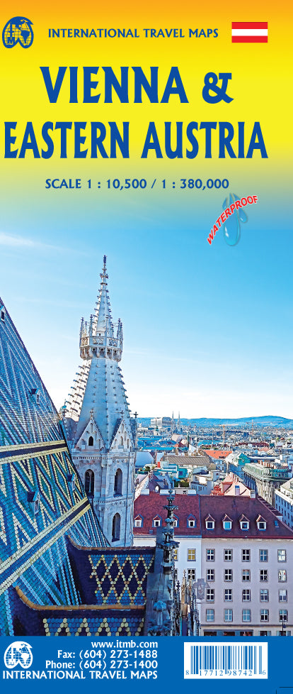
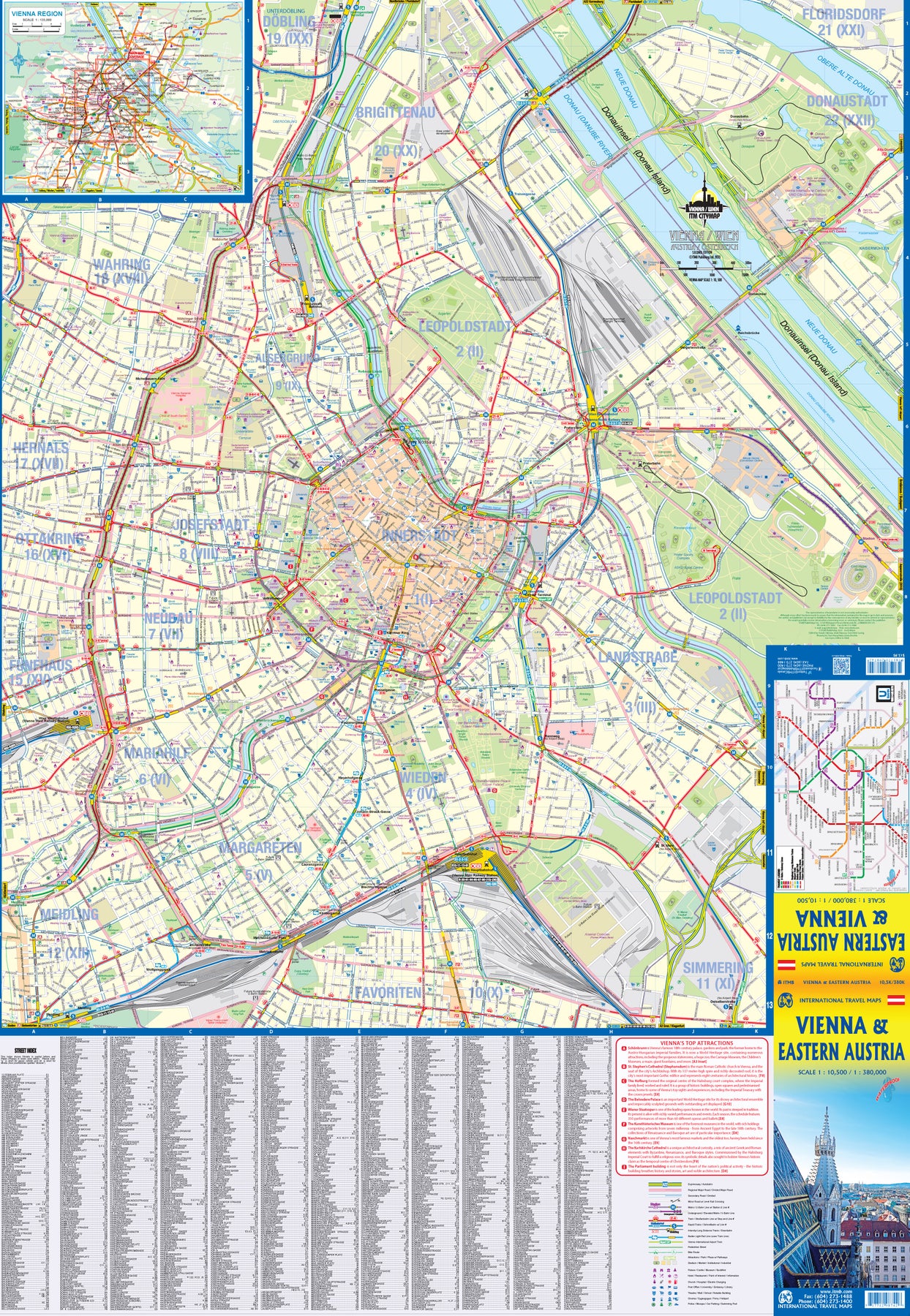
Ordinær pris 179,00 krITMB is pleased to introduce an exciting new map of the wonderful city of Vienna, combined with a newly-prepared map of eastern Austria. Until WW2, Vienna was one of the most diverse and cultural cities in Europe. The NAZI takeover changed all of that and its brutal capture by the Russians five years later sent the city into a devastating downturn. Fortunately, the Soviet Union was forced to withdraw and Austria declared to be a demilitarized neutral country for the rest of the Cold War. Vienna is now a lovely historic city on the Danube River, the capital of Austria, and the European United Nations centre. The Innerstadt (Inner or old city centre) is the location of many of the hotels gracing Vienna, as well as St, Stephen’s Cathedral with its wonderful roof. One of the great attractions of the city is the Schonbrunn, the 18th Century palace of the Austro-Hungarian Empire.
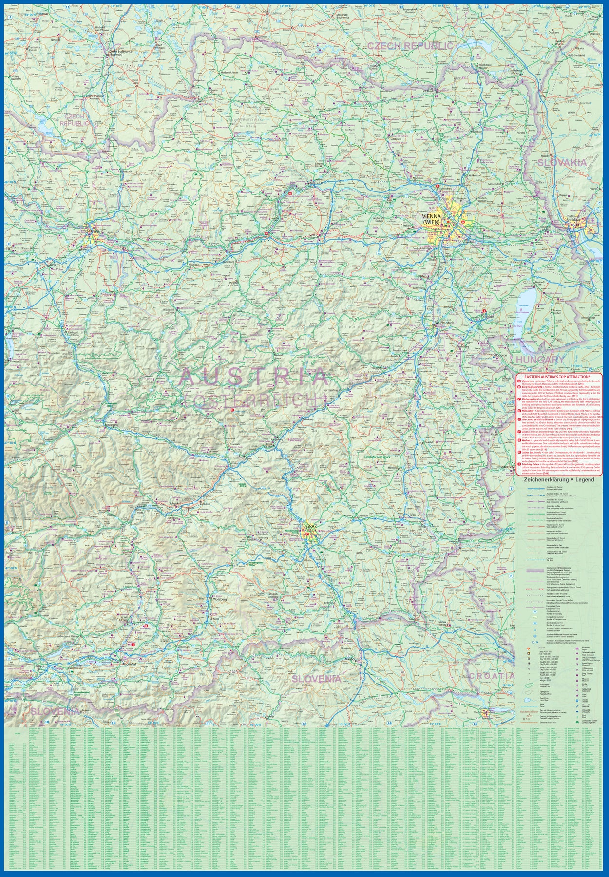
The map extends from the western ring road to the UN complex east of the Danube, and from the northern edge of the urban area to south of the Hauptbahnhof (or main railway station). All Metro and tram lines are clearly shown, along with parks, churches, shopping areas, hotels, and the city’s three rail stations. The second side of the sheet is a very detailed map of the eastern half of Austria from the /Czech border on the north, the Hungarian border to the east, to the Slovenian border to the south, and west to Linz and Klagenfurt. Rail lines are prominently noted, as are motorways and all highways. Once one leaves Vienna, a vista of rural mountainous countryside unfolds, with dozens of ancient castles to explore, and interesting small towns to explore. Burg Hochosterwitz is one of Europe’s most ancient castles, dating from 860AD.
Balkans Western, reisekart
Ordinær pris 219,00 krHighly tear-resistant and 100% waterproof map "Western Balkan Region" from the series world mapping project.
Travel know-how maps are characterized by particularly sturdy plastic paper, which can be written on like paper, even with a pencil. The cardboard envelope is removable, making it easy to put the card in any pocket. A protective cover is not required. The cartographic representation focuses on the most important information for travellers and is particularly easy to read. Instead of shading, coloured layers of elevation are used.
Balkans Western Road Atlas
Ordinær pris 449,00 krDette veiatlaset er lett å lese. Med mange symboler gis det informasjon fra blant annet campingplasser, fergetilbud og (ungdoms)herberger.
Veinettet er godt representert, både hovedveier, provinsveier og lokalveier. Veinummer er også tydelig oppgitt. Avstander mellom steder er markert på kartet i kilometer, og bensinstasjoner er også markert på viktige steder.
Shadow viser relieffet og noen ganger noen punkter med den faktiske høyden. Provinsgrenser, nasjonalparker og reservater er enkle å finne. Symboler indikerer plasseringen av turiststeder, monumenter, historisk viktige steder og utsiktspunkter. Enkelte steder kan du finne hoteller og campingplasser, flyplasser, togforbindelser og havner.