


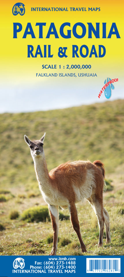
Patagonia Rail & Road
Ordinær pris 189,00 krITM har kart over hele verden og de spesialiserer seg på land litt utenfor allfarvei. Beliggenheten til landets nasjonalparker, historiske monumenter, de viktigste veiene og lignende finner du inkludert i kartene. Samtlige landkart har ofte et bykart over hovedstaden.
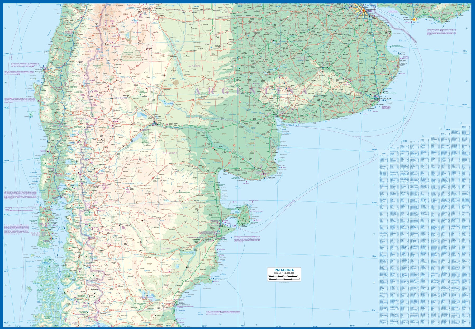
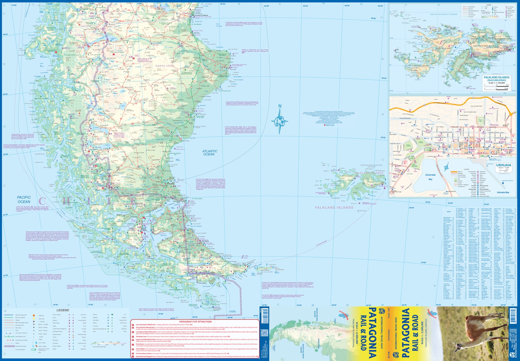
Fra ITM: Patagonia has changed dramatically in recent years. Argentina has finally invested in infrastructural improvements to make the region more accessible by paving roads, upgrading airports, building hospitals, encouraging tourism, and making exploration much more pleasant than when I first visited the region. By the shape of the southern third of South America, the map is best shown with the northern portion of Patagonia on one side and goes to the north of what is traditionally thought of as Patagonia to include the La Pampa region and Buenos Aires at the northernmost upper area of the map. As a result, all of Chile south of Conception is also shown. Highway 40, the 'spinal cord' of Patagonia, is now paved, or mostly so, making driving reasonably easy. There are rail lines in this northern region, and we have shown them, but I believe that all passenger service has been discontinued. The second side covers the Santa Cruz grasslands, the wonderful Chilean southern islands, and the very popular Tierra del Fuego portion of both countries. Most people do not realize that the Tierra region is an island, with access controlled by a Chilean ferry and border crossings into the Argentinian portion. Ushuaia, the most important city, is actually in the southern shore of the island, fronting on to the Beagle Channel. The southernmost point in South America is an island named after Hoorn, in old Holland, called Cape Horn in English. We even show the route tour boats use to get to Cape Horn from Ushuaia. The Falkland Islands are close enough to this southern tip of the continent to show on this map, and we have also included an expanded inset map to show the British colony in better detail. Just don't try to get there from Argentina! We have also included a detailed inset map of Ushuaia.
- Publisert: 2023
- Innbinding: Falset
- Materiale: Vanntett Papir
- Målestokk: 1:2 000 000