


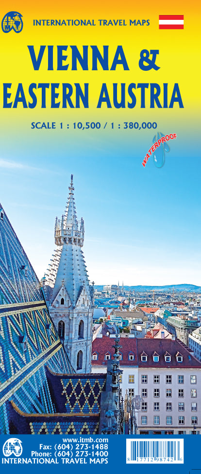
Austria: Vienna & Eastern Austria
Ordinær pris 179,00 krITMB is pleased to introduce an exciting new map of the wonderful city of Vienna, combined with a newly-prepared map of eastern Austria. Until WW2, Vienna was one of the most diverse and cultural cities in Europe. The NAZI takeover changed all of that and its brutal capture by the Russians five years later sent the city into a devastating downturn. Fortunately, the Soviet Union was forced to withdraw and Austria declared to be a demilitarized neutral country for the rest of the Cold War. Vienna is now a lovely historic city on the Danube River, the capital of Austria, and the European United Nations centre. The Innerstadt (Inner or old city centre) is the location of many of the hotels gracing Vienna, as well as St, Stephen’s Cathedral with its wonderful roof. One of the great attractions of the city is the Schonbrunn, the 18th Century palace of the Austro-Hungarian Empire.
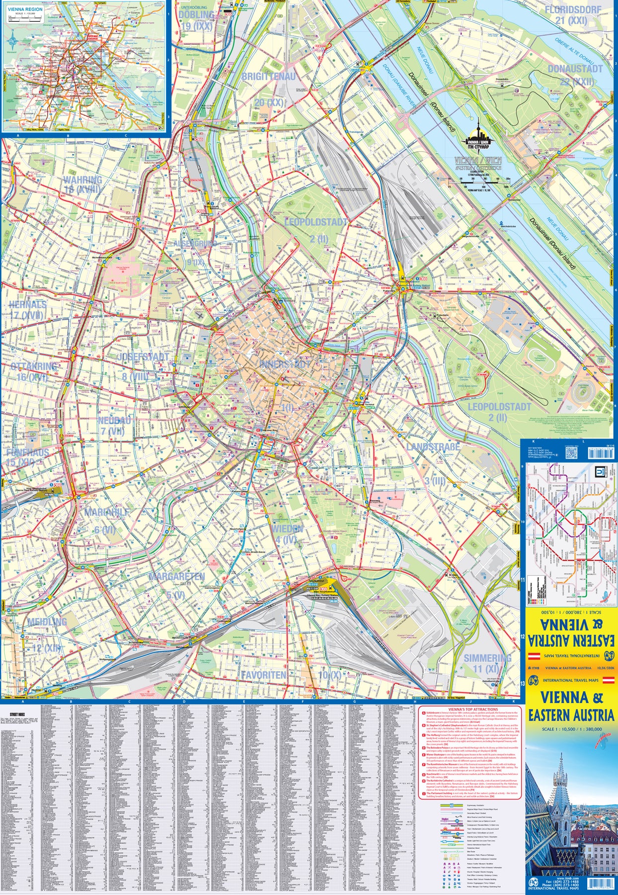
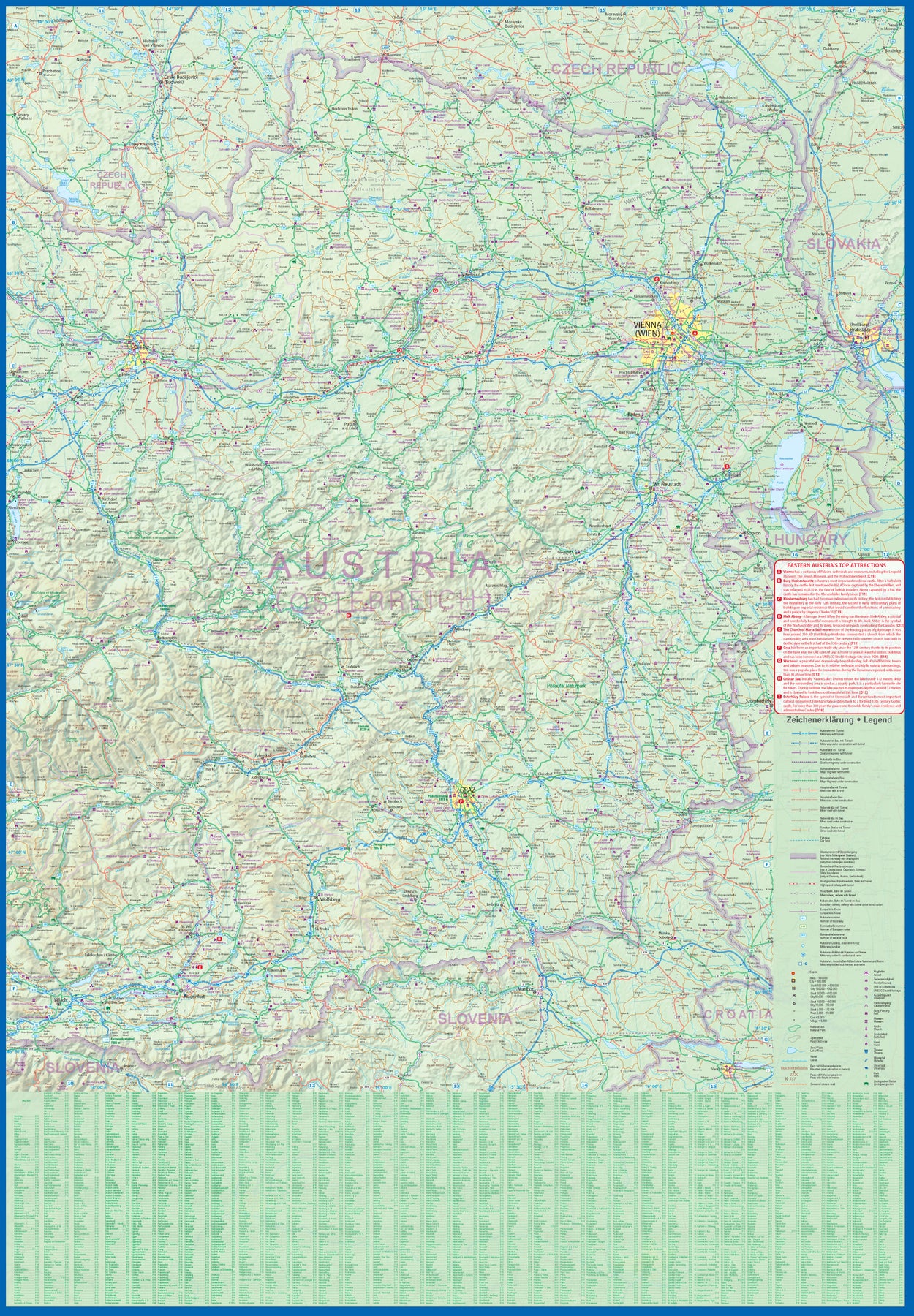
The map extends from the western ring road to the UN complex east of the Danube, and from the northern edge of the urban area to south of the Hauptbahnhof (or main railway station). All Metro and tram lines are clearly shown, along with parks, churches, shopping areas, hotels, and the city’s three rail stations. The second side of the sheet is a very detailed map of the eastern half of Austria from the /Czech border on the north, the Hungarian border to the east, to the Slovenian border to the south, and west to Linz and Klagenfurt. Rail lines are prominently noted, as are motorways and all highways. Once one leaves Vienna, a vista of rural mountainous countryside unfolds, with dozens of ancient castles to explore, and interesting small towns to explore. Burg Hochosterwitz is one of Europe’s most ancient castles, dating from 860AD.
- Publisert: 2023
- Innbinding: Falset
- Materiale: VanntettPapir
- Målestokk: 1:10,500 / 1:380 000