7 produkter
Balkans: Croatia; Slovenia & Bosnia Herzegovina
Ordinær pris 199,00 krAttractive road map of the region with hill-shading to show the general relief. Road detail includes selected secondary roads, and distinguishes toll roads and scenic routes. Intermediate driving distances are indicated. Caravan restrictions are shown, also steep gradients and seasonal road closures. Other details include ferries, cable car lines, railways, border crossings, campsites, antiquities, various landmarks, viewpoints and sites of interest. National parks and provincial boundaries are marked. Latitude and longitude lines are drawn at 30' intervals. Legend includes English.
here is also an inset political map of the wider Balkan region.
Balkans: Slovenia - Croatia - Serbia - Montenegro - Bosnia Herzegovina
Ordinær pris 199,00 krEurope: Southeast & Balkans
Ordinær pris 199,00 krThe Balkans and South-Eastern Europe on a road map from Freytag and Berndt, covering a large chunk of the Continent from southern Poland and Kiev to the Mediterranean, and from Naples to Ankara. The map shows the area’s road network, indicating diving distances on principal routes and main border crossings. Railways and ferry routes are marked. In most countries internal administrative boundaries are also shown.
In Greece, Bulgaria and Ukraine (but not Serbia) names of main cities are shown both in Latin alphabet and in Greek or Cyrillic. The map has a latitude and longitude grid at intervals of 1º. Multilingual map legend includes English.
A booklet attached to the map cover contains an index, arranged by country, plus street plan of central Athens, Belgrade, Bratislava, Budapest, Bucharest, Chisinau, Istanbul, Kiev, Ljubljana, Podgorica, Prague, Pristina, Sarajevo, Skopje, Tirana, Vienna and Zagreb.
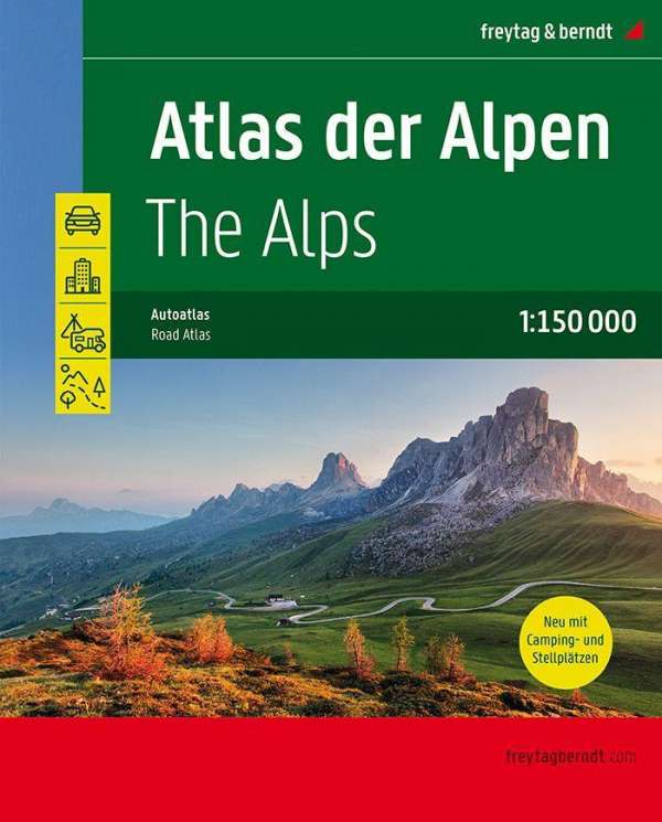
The Alps Atlas
Ordinær pris 449,00 kr