178 produkter
178 produkter


178 produkter
Spain: Fuerteventura
Ordinær pris 199,00 krThis detailed recto/verso road map of Fuerteventura is very suitable for planning and traveling around the country. The road network is well represented, both the main roads, provincial and local roads. Road numbers are also clearly stated. Distances between places are marked on the map in kilometers, and gas stations are also marked in important places.
Shadow shows the relief and sometimes some points with the actual height. Province borders, national parks and reserves are easy to find. Symbols indicate the location of tourist sites, monuments, historically important places and viewpoints. In certain places you can find hotels and campsites, airports, train connections and ports.
Spain: Gran Canaria
Ordinær pris 199,00 krDette store østerriske kartforlaget er kjent for sin klare kartografi og gode papirkvalitet. De kommer i alle målestokker, og flere av landkartene inneholder bykart og turistinformasjon.
Spain: La Palma
Ordinær pris 169,00 krDette store østerriske kartforlaget er kjent for sin klare kartografi og gode papirkvalitet. De kommer i alle målestokker, og flere av landkartene inneholder bykart og turistinformasjon.
Clear road map of La Palma from Freytag & Berndt showing its road network with main places of interest and hiking trails, plus street plans of Santa Cruz de la Palma, Los Cancajos, Puerto Naos and Los Llanos de Ariadne.
Publisert år: 2024
Innbinding: falset
Material: papir
Målestokk: 1:40000
Spain: Lanzarote
Ordinær pris 199,00 krDette store østerriske kartforlaget er kjent for sin klare kartografi og gode papirkvalitet. De kommer i alle målestokker, og flere av landkartene inneholder bykart og turistinformasjon.
Spain: Mallorca
Ordinær pris 199,00 krMajorca at 1:50,000 on a large, double-sided, contoured map from Freytag & Berndt, with highlighting for scenic roads and tourist routes, plus a booklet with a GPS-annotated index, street plan of central Palma, and multilingual descriptions of the island’s best sights.
Sweden: Central
Ordinær pris 199,00 krDette store østerriske kartforlaget er kjent for sin klare kartografi og gode papirkvalitet. De kommer i alle målestokker, og flere av landkartene inneholder bykart og turistinformasjon.
Sweden: South
Ordinær pris 199,00 krDette store østerriske kartforlaget er kjent for sin klare kartografi og gode papirkvalitet. De kommer i alle målestokker, og flere av landkartene inneholder bykart og turistinformasjon.
Kartet dekker området rundt Malmø
Sweden: Southeast
Ordinær pris 199,00 krDette store østerriske kartforlaget er kjent for sin klare kartografi og gode papirkvalitet. De kommer i alle målestokker, og flere av landkartene inneholder bykart og turistinformasjon.
Kartet dekker områder rundt Stockholm, Uppsala og Linköping.
Thailand
Ordinær pris 199,00 krThailand at 1:900,000 on a large, double-sided, indexed road map from Freytag & Berndt, with clear presentation of the country’s road network, its topography, various places of interest and its administrative divisions.
The map divides the country north/south, with a good overlap between the sides. Colouring and relief shading with spot heights show the country’s topography. National parks and other protected areas are clearly highlighted. Road network includes selected unpaved roads and local tracks, with driving distances indicated on main routes. The map also shows railway lines, ferry connections and local airports, as well as the country’s internal administrative boundaries with names of the provinces.
Various places of interest at highlighted by symbols with their names given in English, e.g. ancient or historic city, floating market, historic park, etc. The map has latitude and longitude lines at intervals of 1º and an extensive index. Map legend includes English.
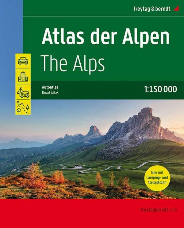
The Alps Atlas
Ordinær pris 449,00 krUkraine; Moldova
Ordinær pris 199,00 krUkraine and Moldova with eastern Romania, on a large, indexed road map with street plans of central Kiev and Chisinau. Place names are in Roman alphabet, with main towns also given in Cyrillic.
Road network includes local roads and cart tracks and shows driving distances on main routes and locations of border crossings. Railways and local airports are shown, as well as internal administrative boundaries with names of the provinces. National parks or protected areas are marked and main places of interest highlighted. Topographic information is limited to names of main mountain and hill ranges and selected spot heights.
The map has latitude and longitude lines at intervals of 1º. Multilingual map legend includes English. Index of localities is in a separate booklet attached to the map cover and lists locations in each country separately, including places in the adjoining areas of neighbouring countries. The booklet also includes plans of central Kiev and Chishinau.
Upper Austria
Ordinær pris 199,00 kr