4 produkter
4 produkter


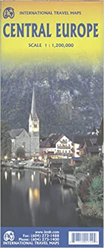
Europe Central
Ordinær pris 199,00 kr/
Mva inkludert
Frakt beregnes i kassen.
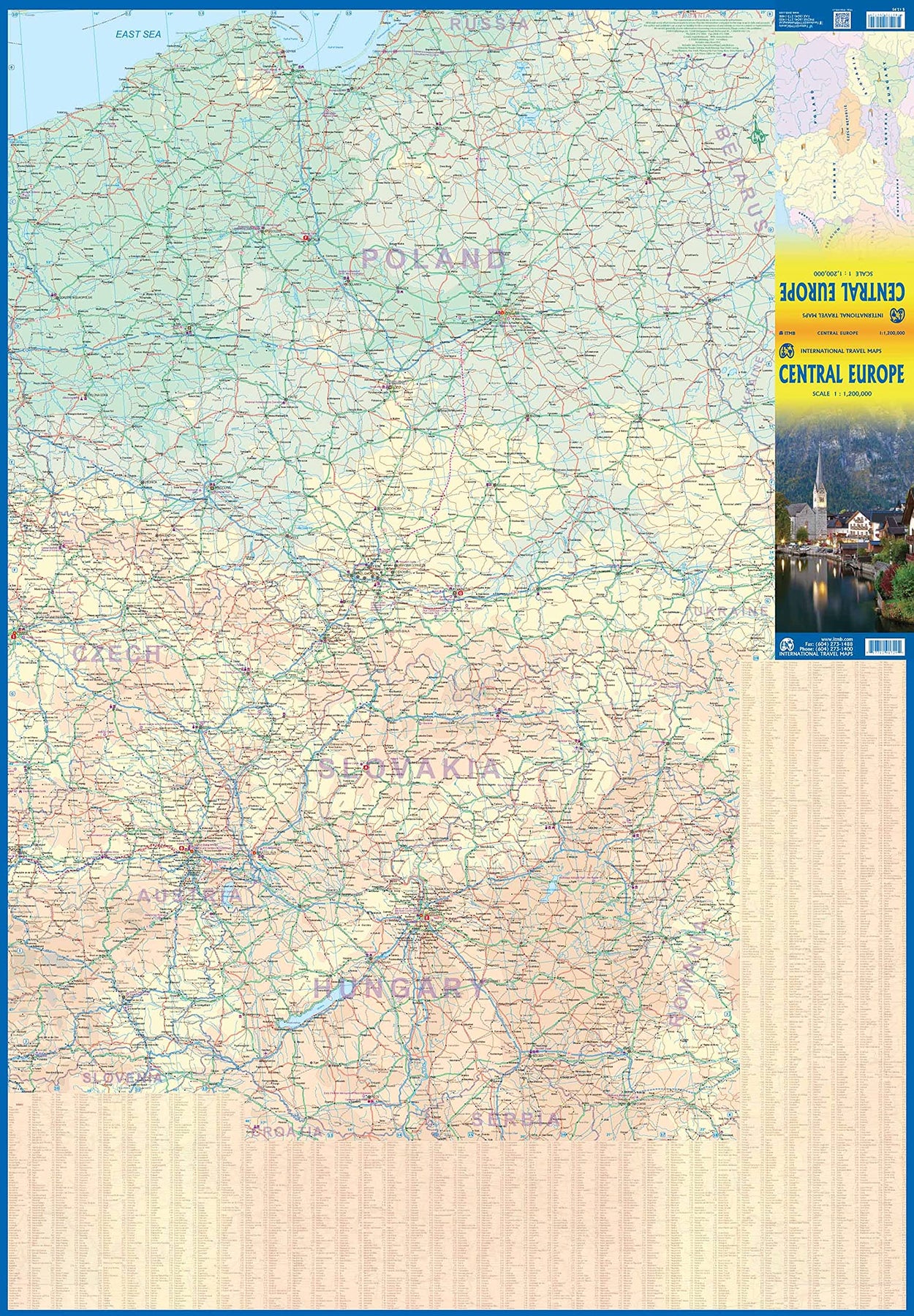
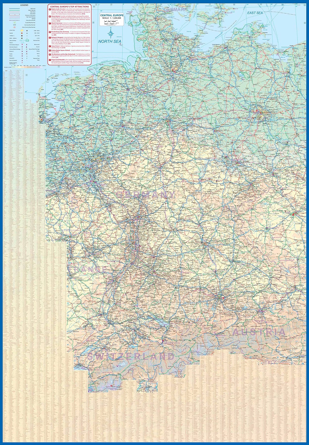
Europe is fairly big, and densely populated. A map of all of Europe is useful, but at a scale that limits our ability to show information. As a result, last year we published a map of Western Europe. Now, we are pleased to extend our more detailed coverage of the continent with a map covering the Central European countries of Germany, Austria, Poland, Czech Republic, Hungary, Slovakia, and Switzerland, with portions of France, Belarus, Serbia, and Romania. A third map, covering eastern European countries, will be released soon, providing detailed regional coverage of the continent in a way that we hope is pleasing. Germany occupies most of the first side, and Poland the other, with Czech and Slovakia divided between the two sides, and Slovakia/Hungary filling the rest of side 2.
This is a regional map, showing rail lines as well and roads, airports, and major touristic attractions. A listing of the region’s top attractions is included. This map will appeal to those visiting several countries on one trip, by rail or road. Legend Includes: Roads by classification, Rivers and Lakes, National Park, Airports, Points of Interests, Highways, Main Roads, Zoos, Fishing, and much more...
- Publisert: 2021
- Innbinding: Falset
- Materiale: Papir
- Målestokk: 1:1 200 000

Europe: Southeast & Balkans
Ordinær pris 199,00 kr/
Mva inkludert
Frakt beregnes i kassen.
The Balkans and South-Eastern Europe on a road map from Freytag and Berndt, covering a large chunk of the Continent from southern Poland and Kiev to the Mediterranean, and from Naples to Ankara. The map shows the area’s road network, indicating diving distances on principal routes and main border crossings. Railways and ferry routes are marked. In most countries internal administrative boundaries are also shown.
In Greece, Bulgaria and Ukraine (but not Serbia) names of main cities are shown both in Latin alphabet and in Greek or Cyrillic. The map has a latitude and longitude grid at intervals of 1º. Multilingual map legend includes English.
A booklet attached to the map cover contains an index, arranged by country, plus street plan of central Athens, Belgrade, Bratislava, Budapest, Bucharest, Chisinau, Istanbul, Kiev, Ljubljana, Podgorica, Prague, Pristina, Sarajevo, Skopje, Tirana, Vienna and Zagreb.
- Publisert: 2024
- Innbinding: Falset
- Materiale: Papir
- Målestokk: 1:2 000 000

Slovakia
Ordinær pris 199,00 kr/
Mva inkludert
Frakt beregnes i kassen.
In addition to the clear design, the road map "Slovakia :200,000" offers a lot of additional information such as road conditions, sights and campsites. The extensive register of places also makes it possible to find your way around quickly. Details: GPS-compatible, tourist information, place index with postcodes, double-sided. freytag & berndt car maps are available for many countries and regions worldwide.
- Publisert: 2024
- Innbinding: Falset
- Materiale: Papir
- Målestokk: 1:200 000