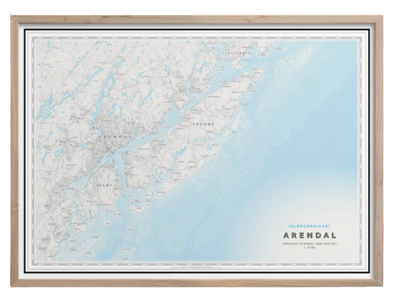
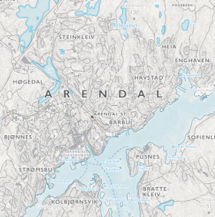
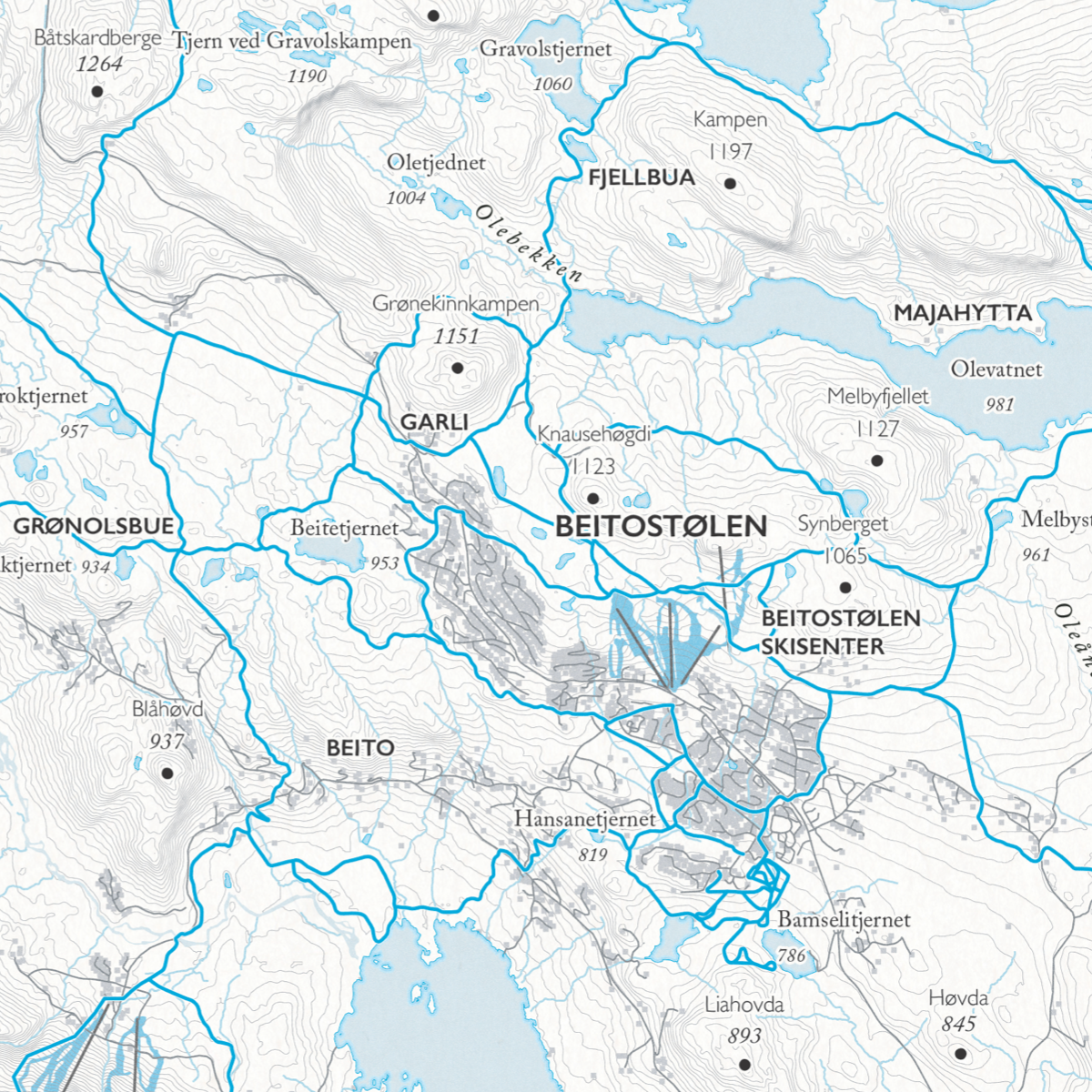
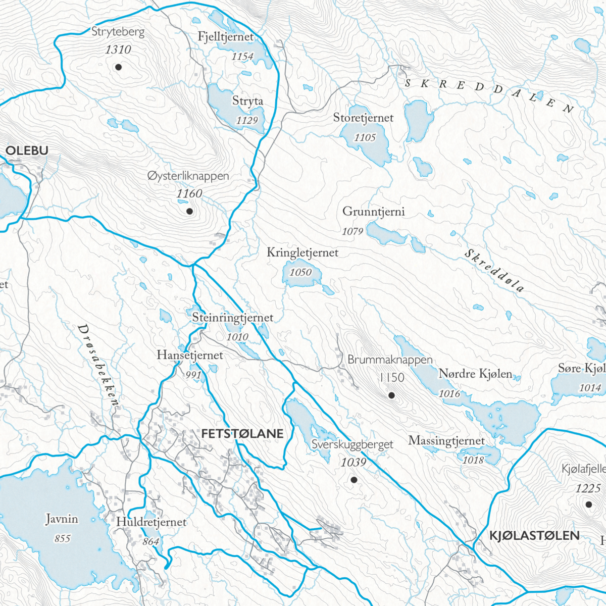
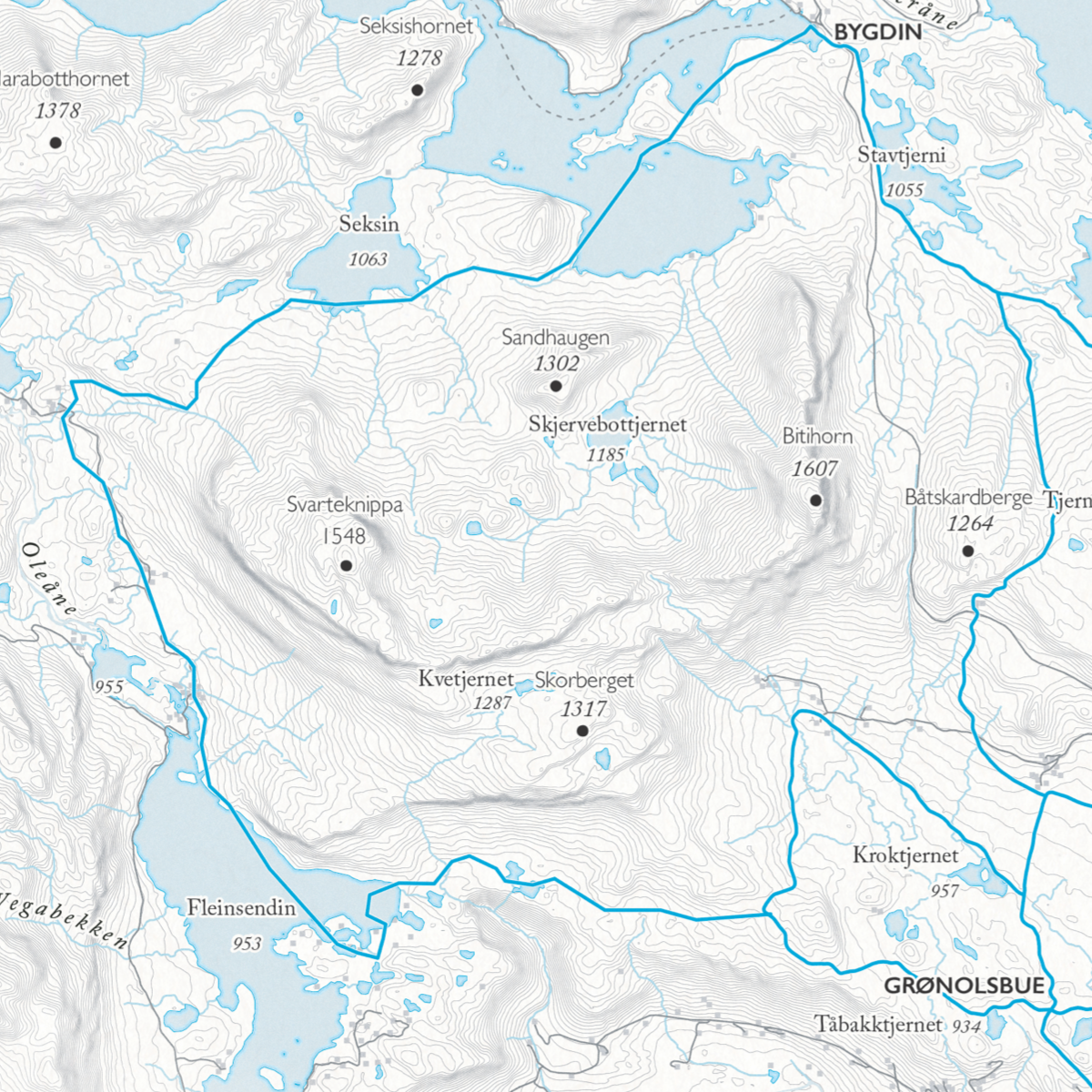
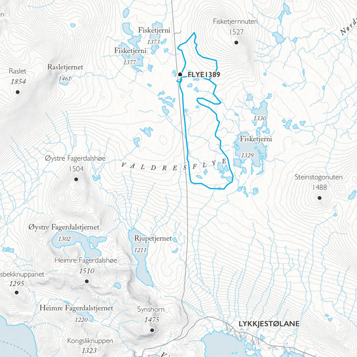
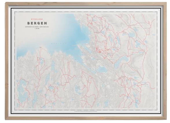
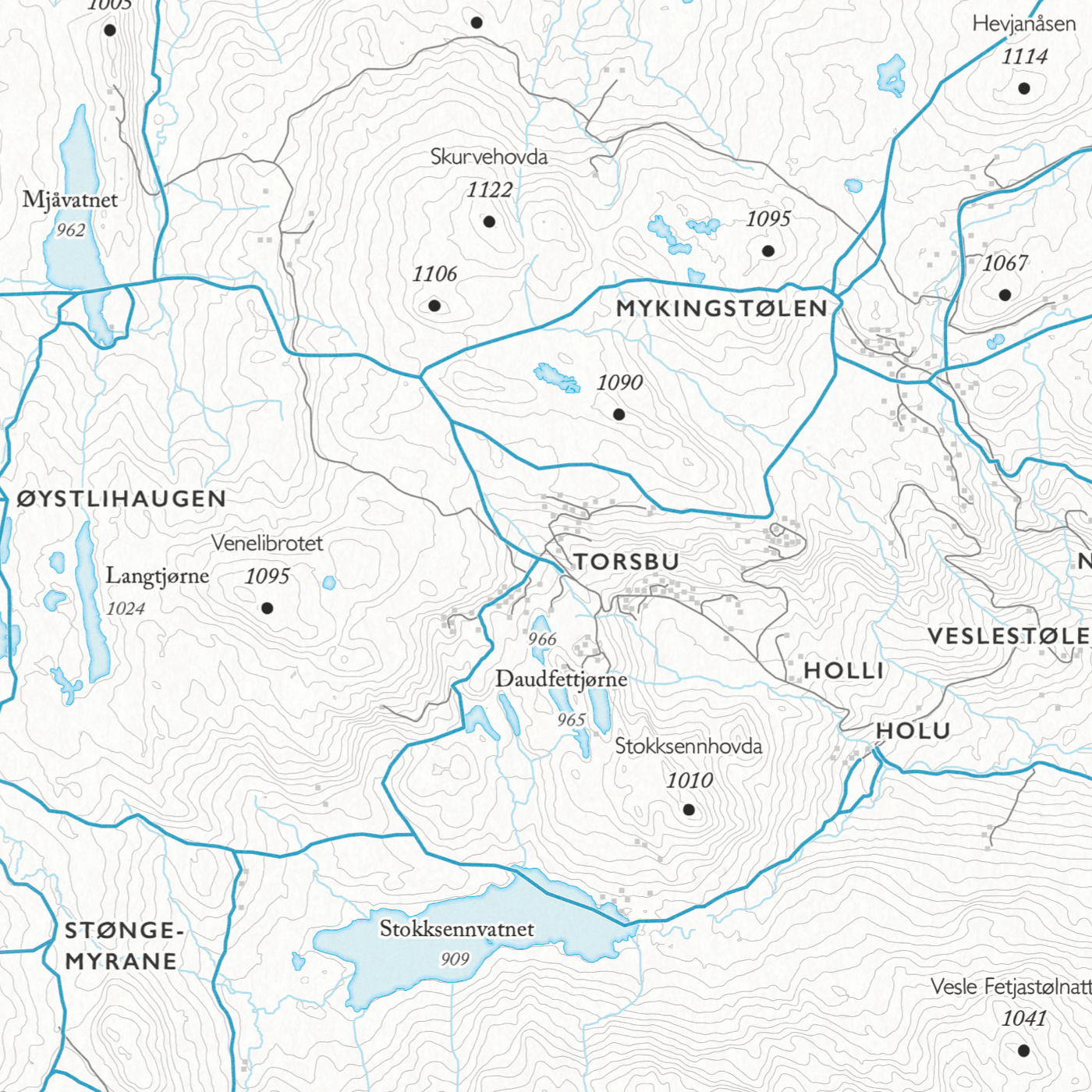
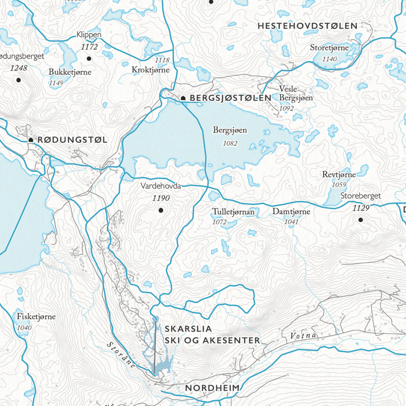
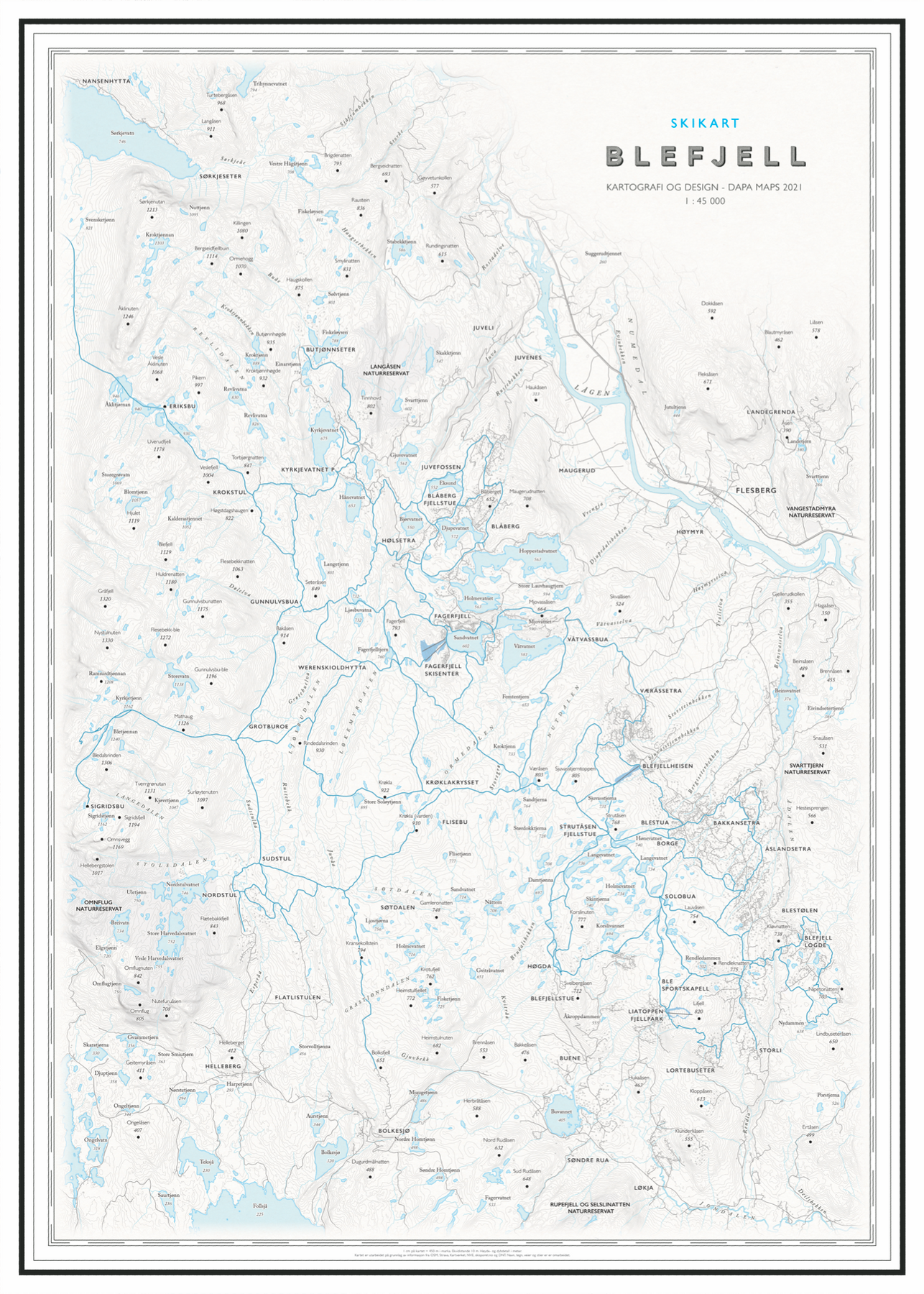
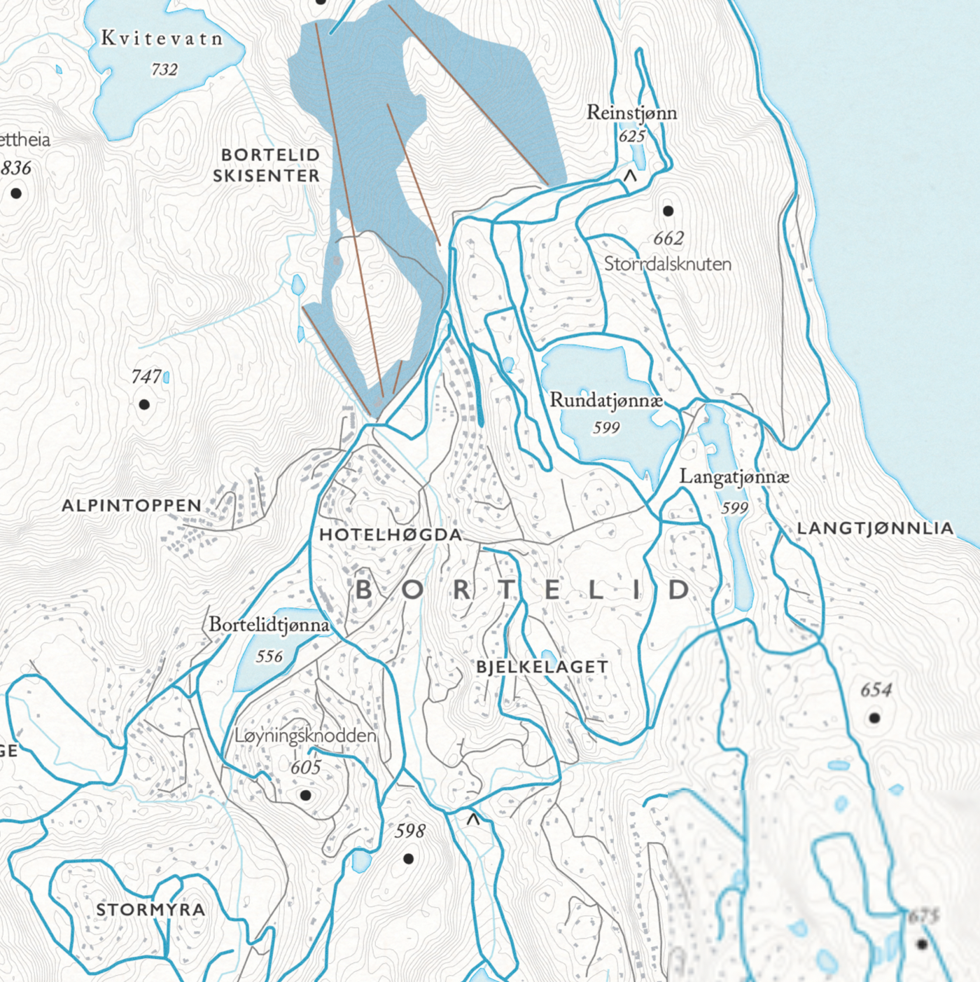
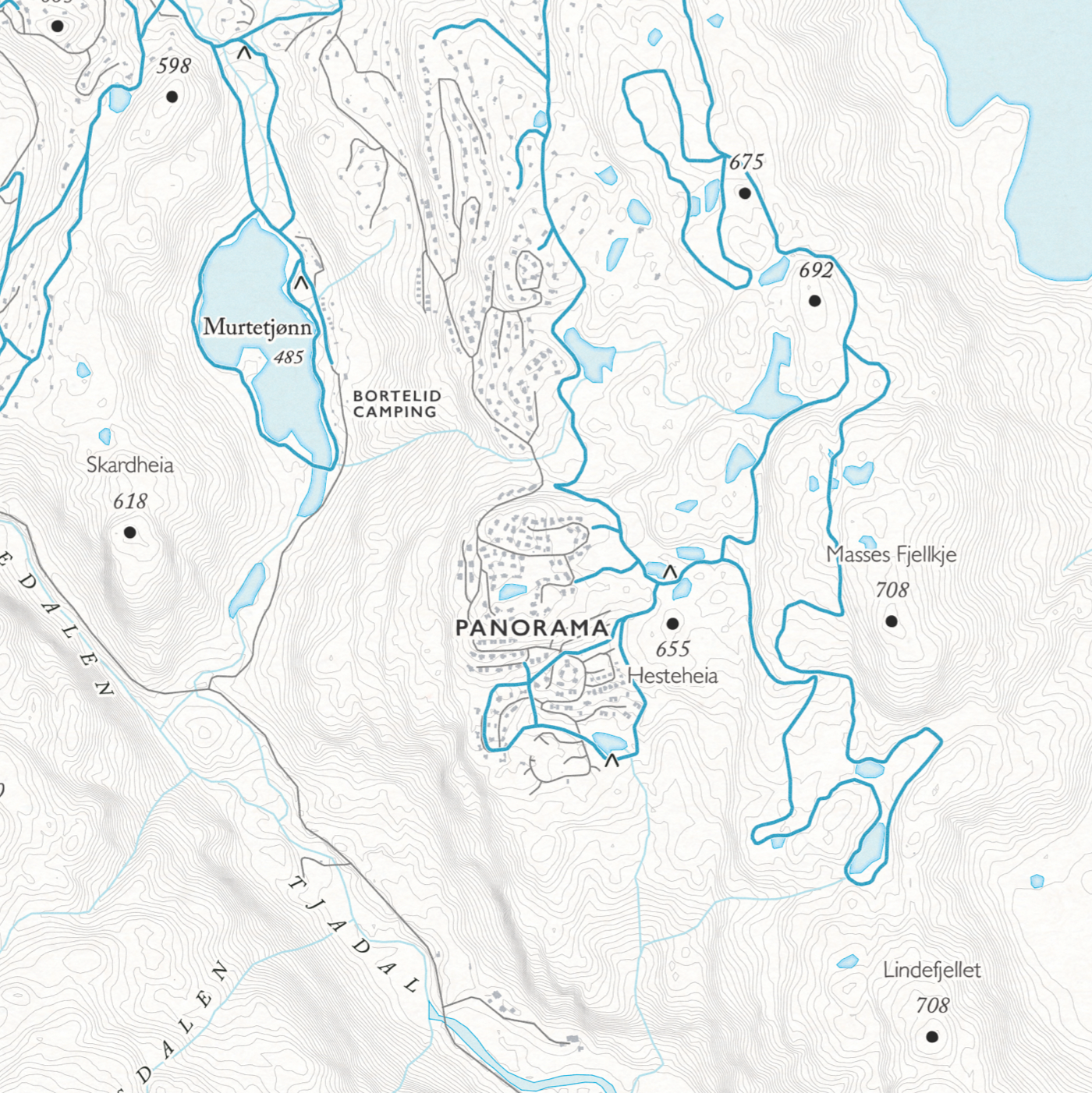
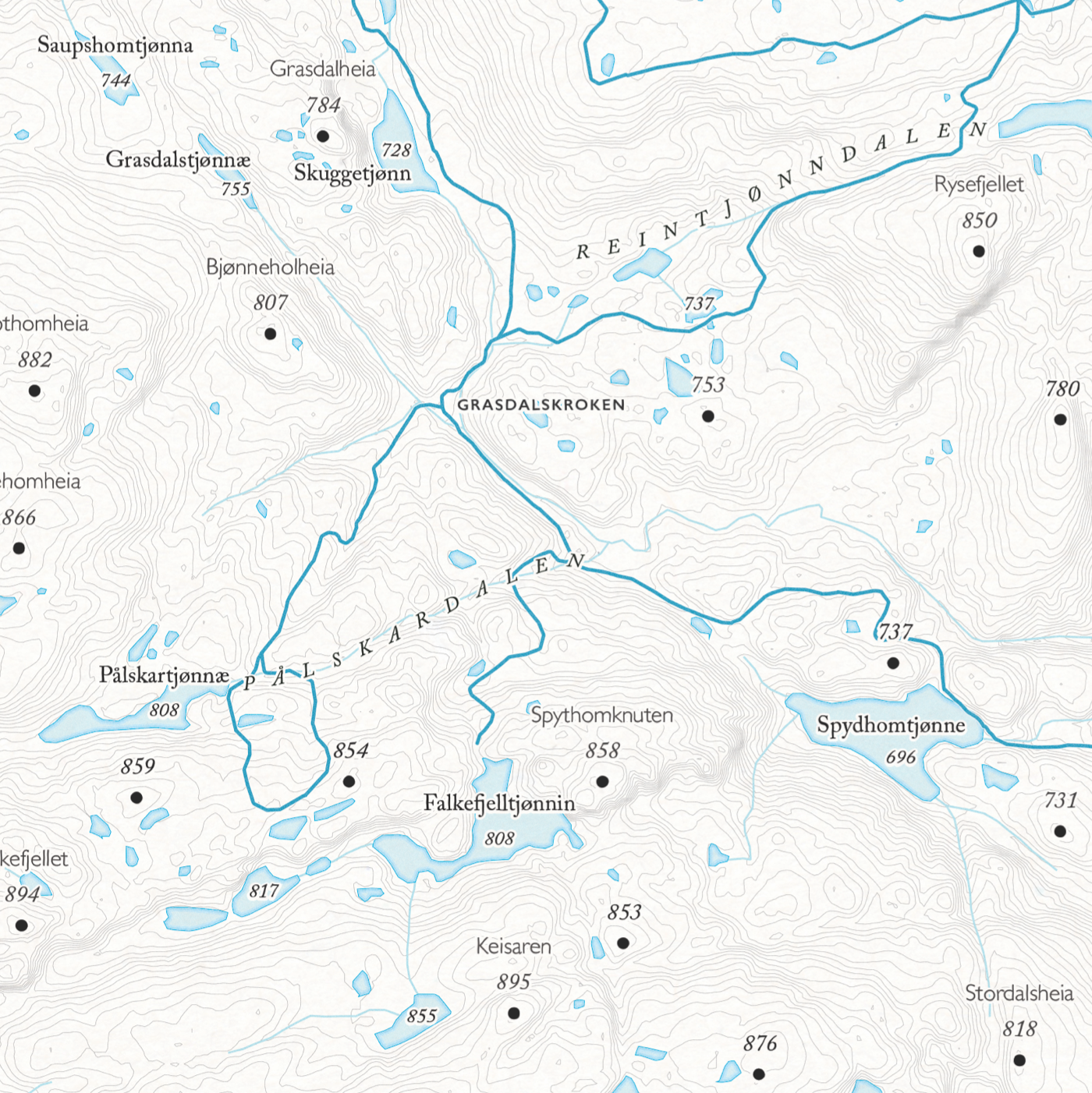
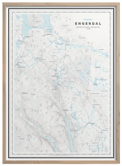
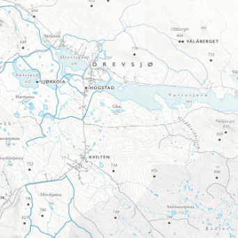
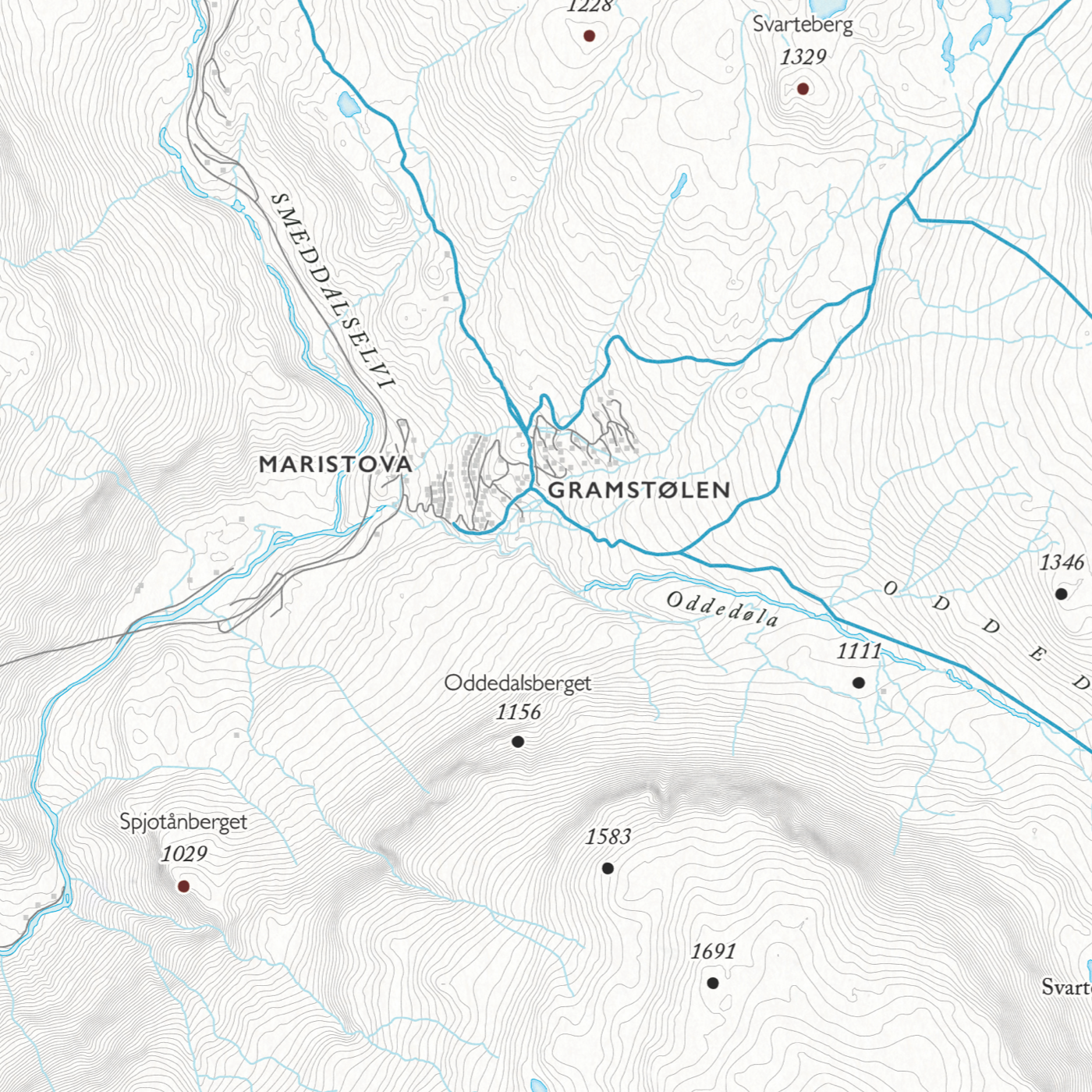
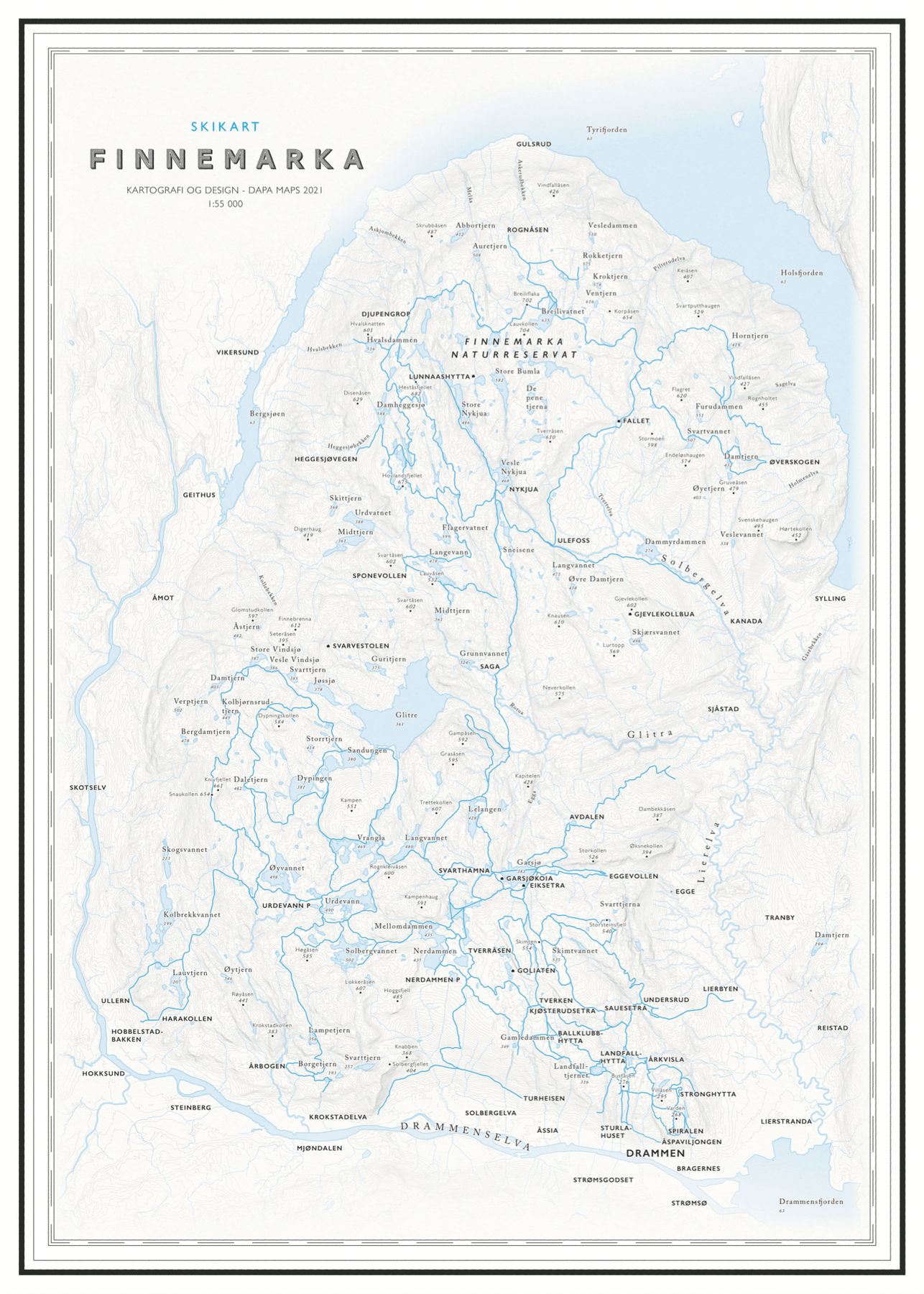
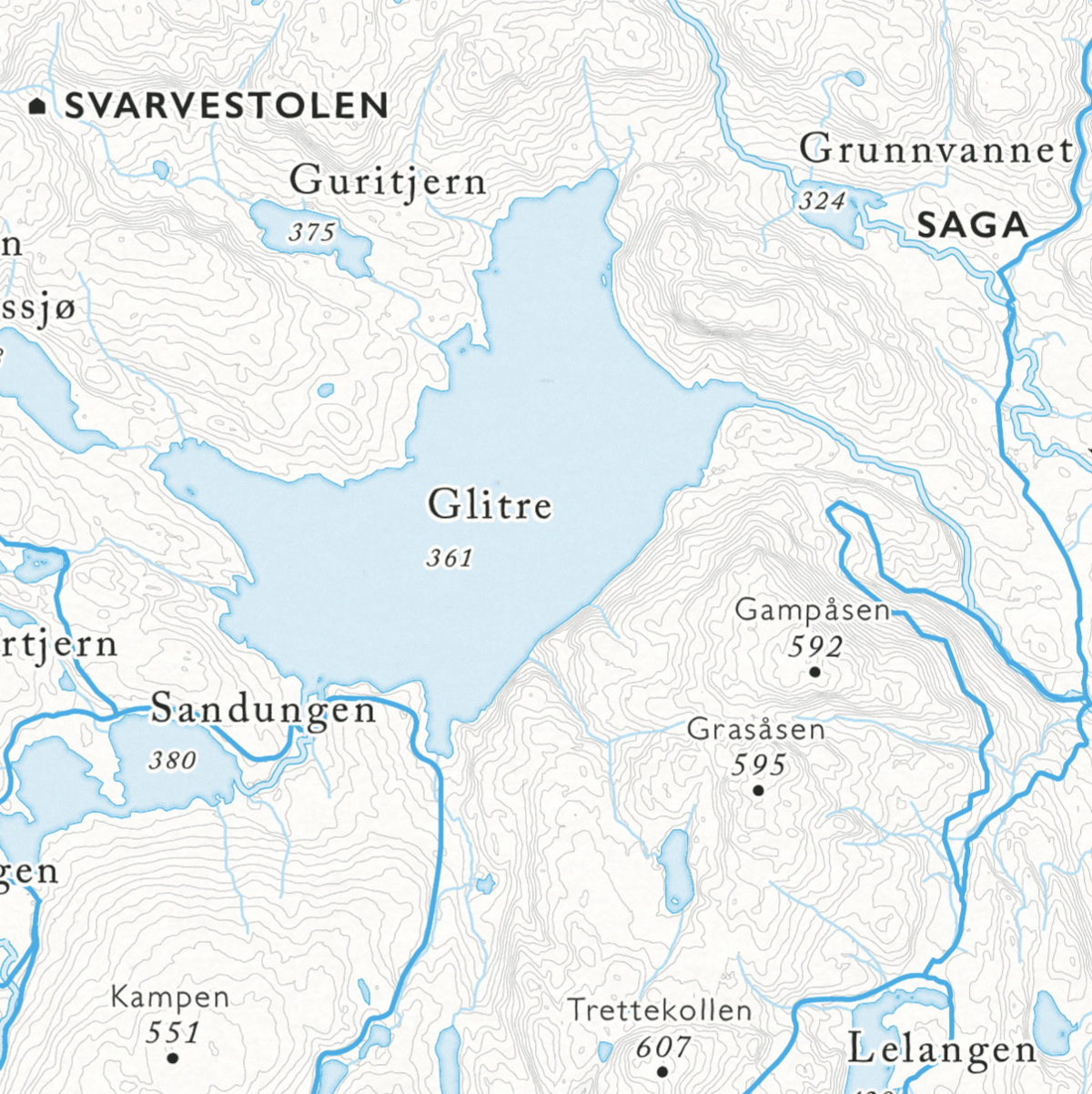
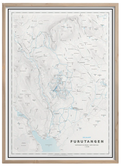
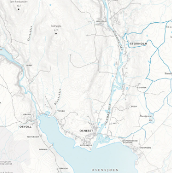
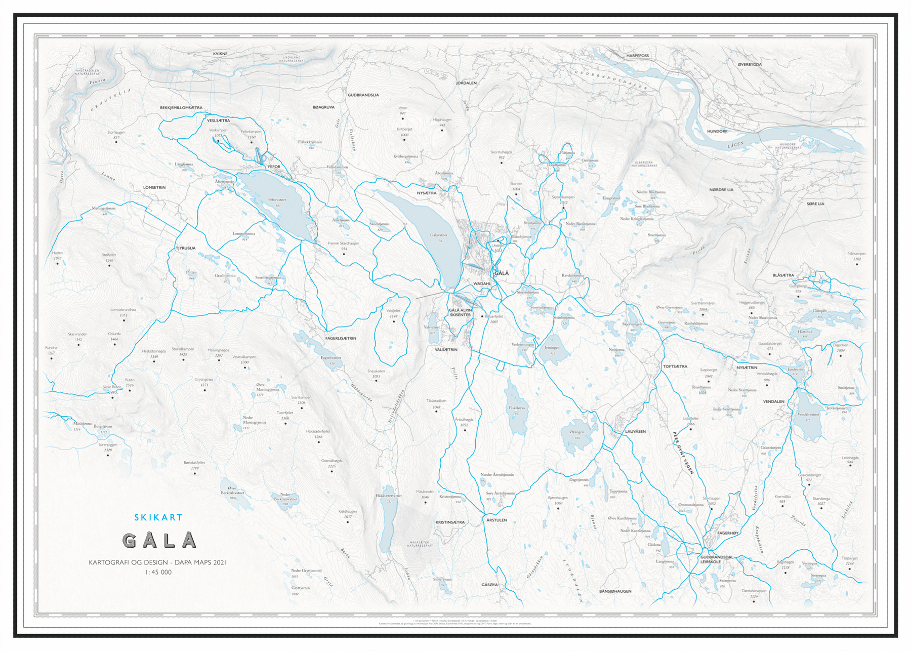
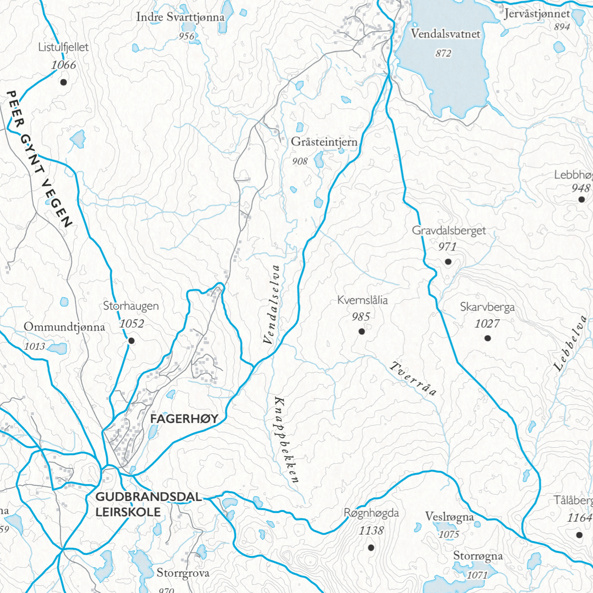
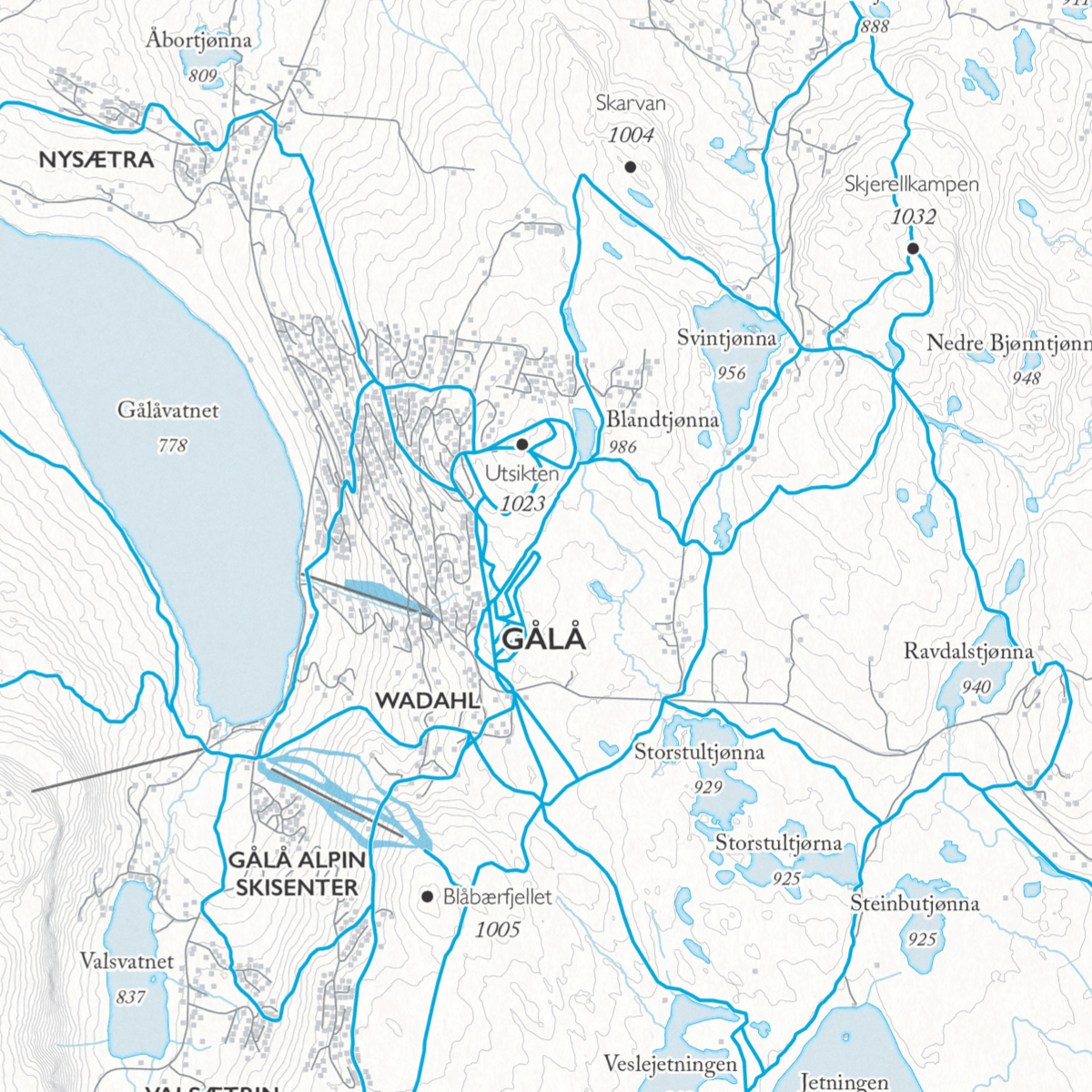
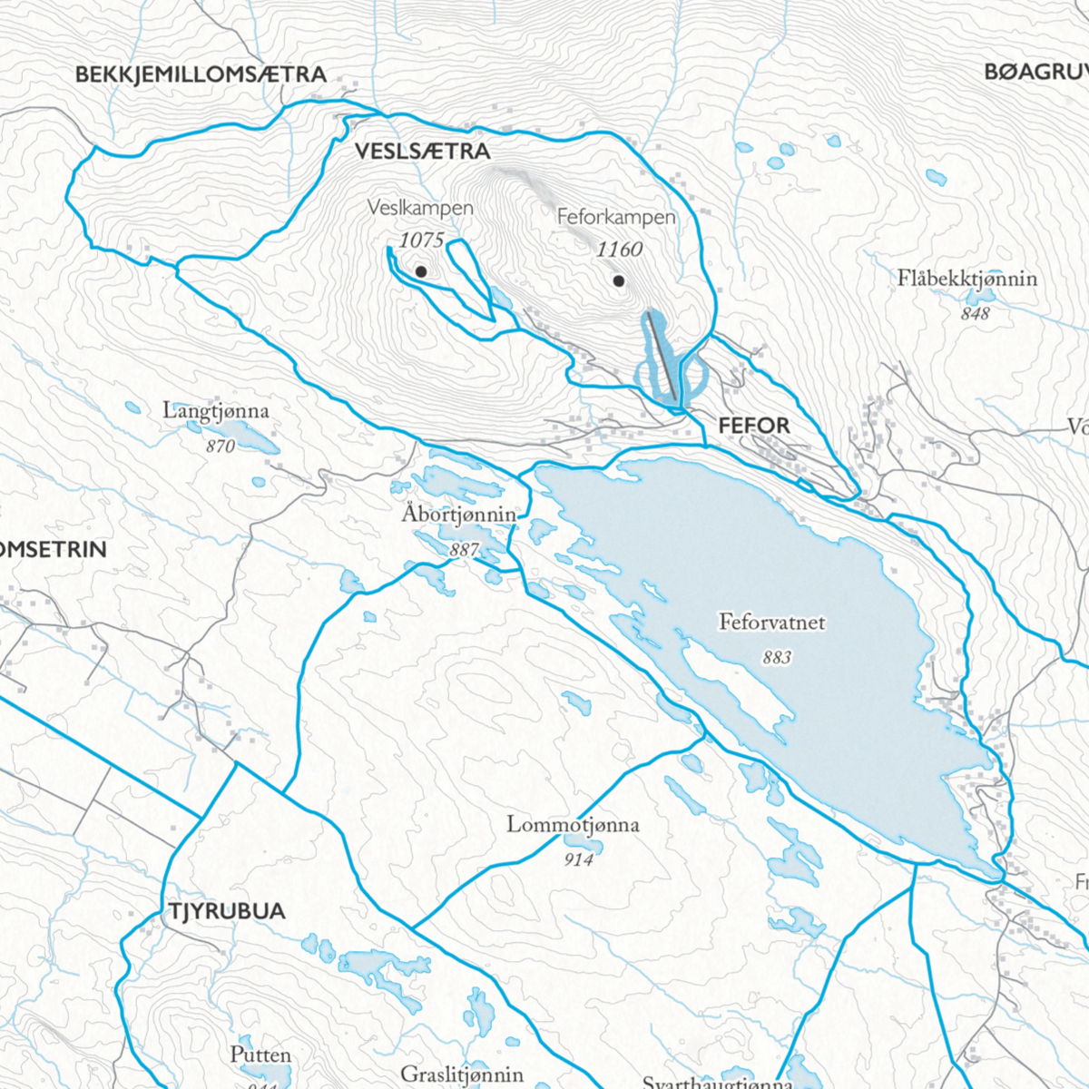
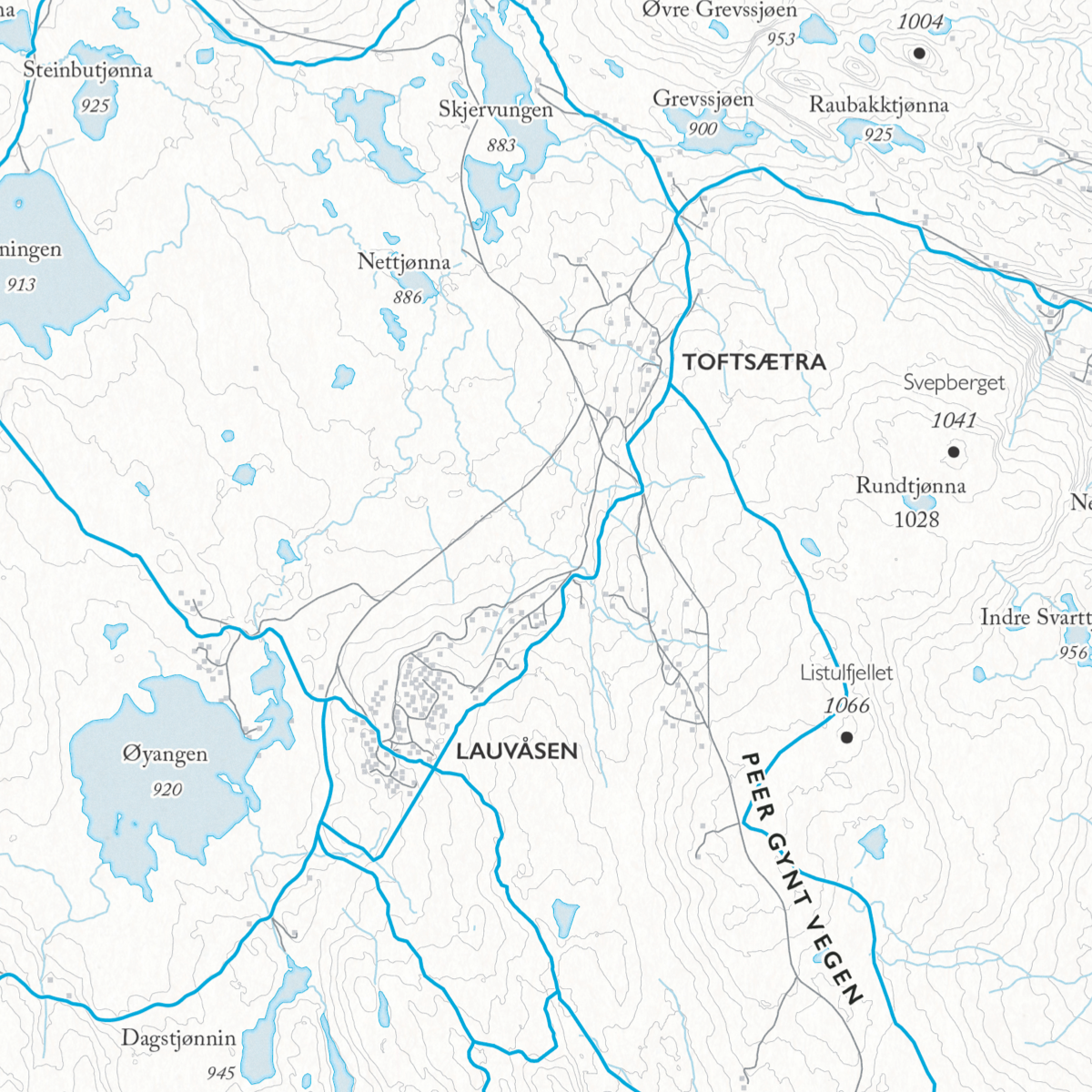
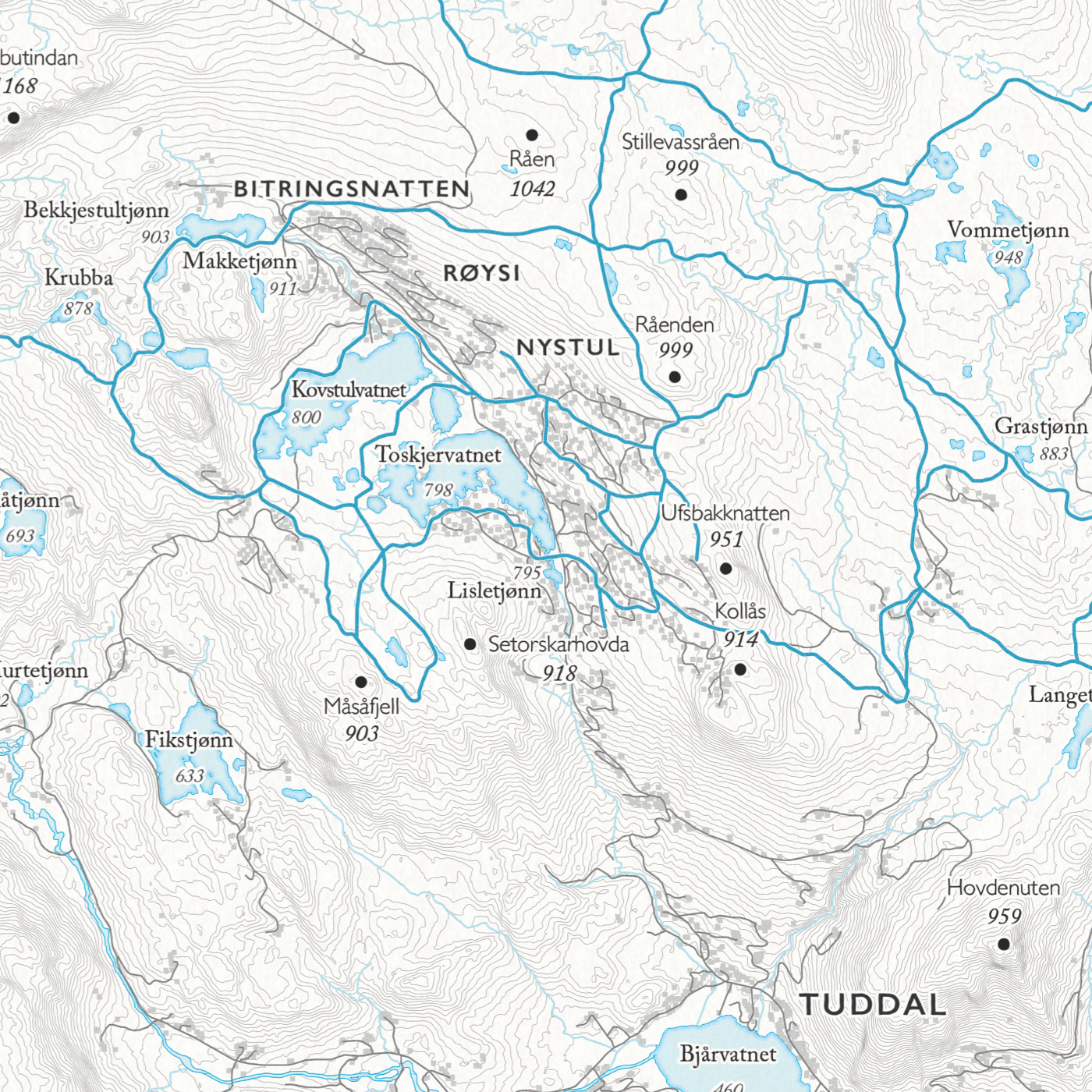
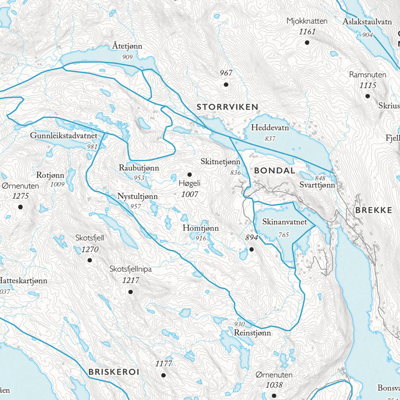
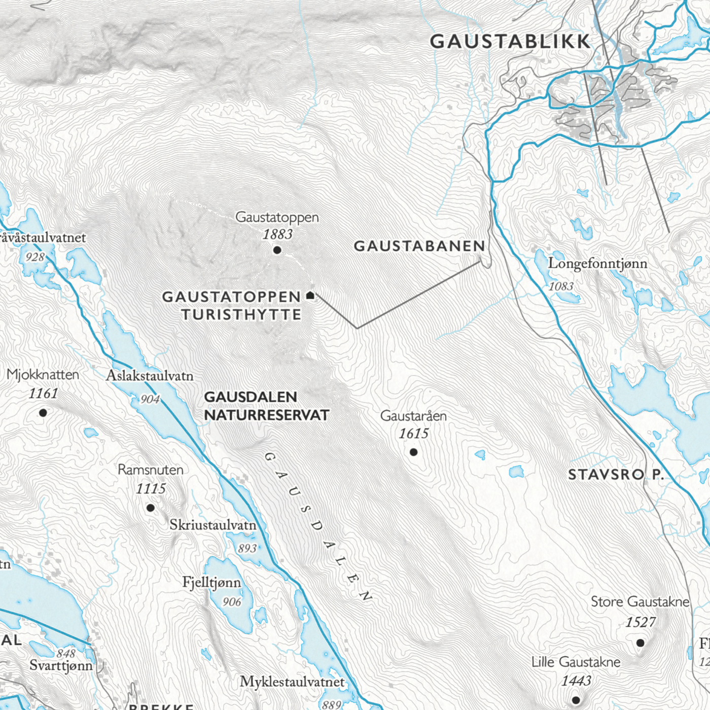
Dapa Maps' skikart over Engerdal som viser deg alle rutene i området. Fra Femunden i nord til Mjølfjellet i sør. Kartet er utarbeidet på grunnlag av informasjon fra Kartverket, skisporet.no, OSM, Strava, NVE, og DNT. Navn, tegn, veier og stier er omarbeidet.
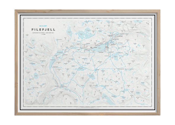
- Målestokk: 1:70 000
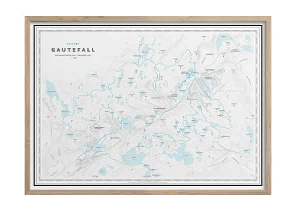
- Mål: 50 x 70 cm
- Ubestrøket matt papir
- Sendes i en sikker hylse
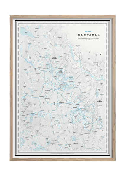
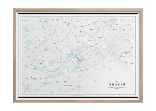
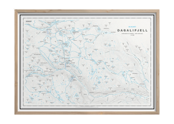
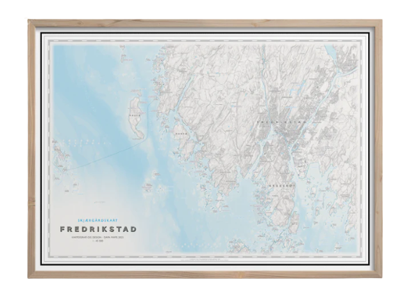
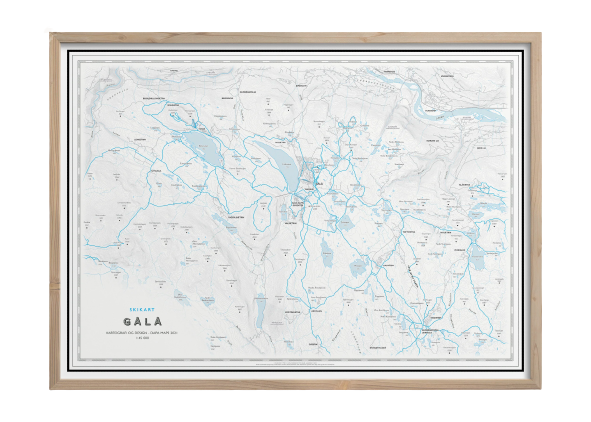
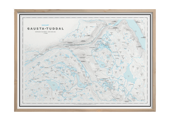
- Kartet leveres uten ramme. Velg “med ramme” dersom du ønsker en stilren ramme i massiv eik
Dette kartet er kun tilgjengelig for kjøp i nettbutikken.
Dapa Maps
Kartet er laget av Daniel og Pavel fra Dapa Maps. De er to kartografer som tror at livet er best ute, derfor er de opptatt av å lage de peneste kartene de kan for at du kan bli kjent med områdene du liker best. Om du ønsker kan du lese mer om de her.
For hvert kart som selges planter de et tre slik at verden blir litt grønnere 🌳
Ramme og montering
Dapa Maps har endelig funnet frem til den perfekte rammen og kan nå tilby ramme og montering av kartet.
- Massiv eik
- Glass
- Enkelt å bytte ut kartet
- Mulighet for å henge den både stående og liggende
- 50 x 70 cm (samme som alle Dapas kart)