Verdens første skikart er selvfølgelig norsk og vi har gjennom høsten 2024 gjort en digital restaurering av kartet slik at det kan få et langt liv.
Dapa Maps' har gjort følgende med kartet:
- Korrigert fargene til original
- Fjernet smussflekker
- Fjernet brettekanter (der det originalen var tekstil)
- Fjernet stempelmerke fra NGO (Norges geografiske opmaaling) som lå i bunn
Det finnes originaler av dette kartet som selges på auksjon til store summer og Dapa Naps' vil med denne restaurering og reproduksjonen gi kartet og historien et lengre liv.
Om kartografen:
Ernst Bjerknes (1865–1955) var reguleringssjef i Kristiania 1903–05. Det var som skipionér Bjerknes ble kjent, ikke fordi han var førstemann i isbjørnland, men fordi han utga det første skikartet, over Nordmarka i 1890. Typisk nok var han sønn av en akademiker, matematikkprofessor C.A. Bjerknes. Barna i hans sosiale krets hadde ofte skøyter og kjelker; ski var derimot uvanlig og måtte skaffes fra bekjente på landet. I 1880-årene oppdaget de sosiale innovatørene skiløpingens rekreasjonsverdi, og Nordmarka ble smått om senn skiløperland.
Dermed ble skikartet til:
«Det var aldri tale om å rydde eller merke op løiper dengang. Det hendte derfor ofte at mindre lokalkjente skiløpere tok feil og kom frem på ganske andre steder enn forutsatt. Dette satte mig på den tanke at det kunde være bruk for et skikart over Nordmarka. Jeg snakket med flere om det, og da alle fant idéen god, la jeg i vei med å tegne et skikart over den nærmeste del av Nordmarka, beregnet på almindelige søndagsturer.»
Vil se eller laste ned originalkartet? Se her
Vil du lese hans bok "Med ski, velosiped og skissebok"? Se her på Nasjonalbiblioteket
Dapa Maps
Kartet er laget av Daniel og Pavel fra Dapa Maps. De er to kartografer som tror at livet er best ute, derfor er de opptatt av å lage de peneste kartene de kan for at du kan bli kjent med områdene du liker best. Om du ønsker kan du lese mer om de her.
For hvert kart som selges planter de et tre slik at verden blir litt grønnere 🌳
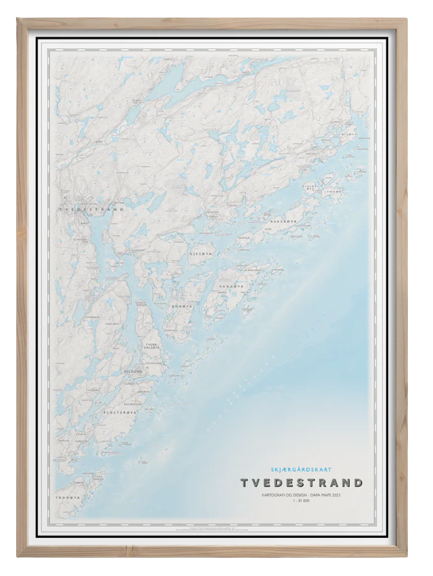
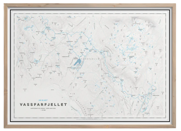
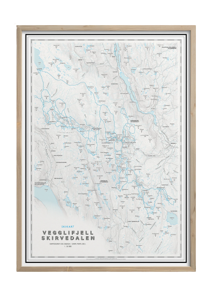
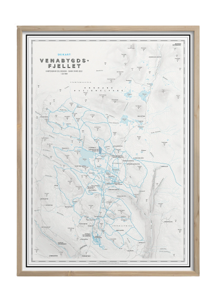
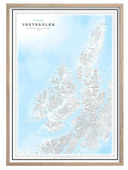
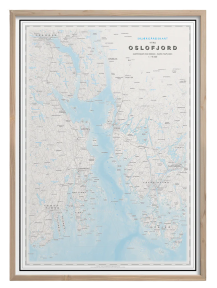
Ramme og montering
Dapa Maps har endelig funnet frem til den perfekte rammen og kan nå tilby ramme og montering av kartet.
- Massiv eik
- Glass
- Enkelt å bytte ut kartet
- Mulighet for å henge den både stående og liggende
- 50 x 70 cm (samme som alle Dapas kart)