FRI FRAKTOrdre over 1000,-
775 produkter
75 Berwick-upon-Tweed
Ordinær pris 279,00 krThe OS Landranger Map series covers Great Britain with 204 detailed maps, perfect for day trips and short breaks. Each map provides all the information you need to get to know your local area and includes places of interest, tourist information, picnic areas and camp sites, plus Rights of Way information for England and Wales. OS Landranger now includes a digital version of the paper map, accessed through the OS smartphone app, OS Maps.
754 Finland
Ordinær pris 169,00 krMichelin er en av verdens beste, og best kjente, kartserier. Kartene har glimrende kartografi. Rød serie, kalt “National” dekker et enkelt land eller en gruppe land primært med hovedferdselsårer.
757 Croatia
Ordinær pris 169,00 krMichelin er en av verdens beste, og best kjente, kartserier. Kartene har glimrende kartografi. Rød serie, kalt “National” dekker et enkelt land eller en gruppe land primært med hovedferdselsårer.
785 Remstal (Stuttgart)
Ordinær pris 249,00 kr786 Cuba
Ordinær pris 169,00 krMichelin er en av verdens beste, og best kjente, kartserier. Kartene har glimrende kartografi. Rød serie, kalt “national”. Dekker et enkelt land eller en gruppe land primært med hovedferdselsårer.
Publisert år: 2020
Innbinding: falset
Material: papir
Målestokk: 1:800.000
8 Garhwal - Kumaon (Uttaranchal)
Ordinær pris 149,00 kr Salgspris 74,50 kr Spar 74,50 kr87 Breuil-Cervinia Zermatt
Ordinær pris 219,00 krPublisert år: 2024
Innbinding: falset
Material: plast laminert
Målestokk: 1:50000
9 Abruzzo e Molise
Ordinær pris 199,00 kr9 Valsavarenche; Gran Paradiso
Ordinær pris 199,00 kr Salgspris 129,00 kr Spar 70,00 kr92 Valchiavenna val Bregaglia
Ordinær pris 239,00 kr93 Bernina Valmalenco Sondrio
Ordinær pris 229,00 kr96 Bormio; Livigno - Alta Valtellina
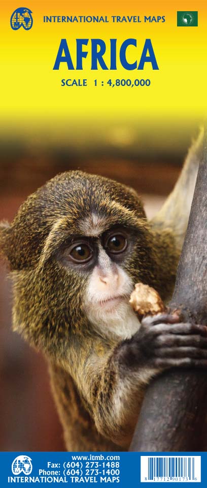
Ordinær pris 199,00 krAfrica
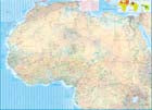
Ordinær pris 199,00 krAfrica is a huge continent. No one apart from us has successfully prepared a digital data base for the entire continent and this edition includes numerous updates to road information and shifting political realities. We have updated roads whenever reliable data indicates improvements, such as connections between the southern tip of Morocco and the road leading to Nouakchott, in Mauritania. Politically, we all know of things that do not affect maps - the closed border between Algeria and Morocco, the coup in Guinea, the continued instability of Libya, the generally better degree of stability in Somalia, the on-going troubles in South Sudan - but generally, the continent of 54 nation states and a few colonial enclaves has survived two years of destabilizing Covid ravages rather well. Tourism is gradually recovering, and map sales improving.
This is a very important map in that it brings all of the countries and islands relative to the African continent into perspective. We are pleased to bring to your attention an updated version of a part of the world that is crucially important.
Africa: Congo & Central African Republic
Ordinær pris 199,00 krITM har kart over hele verden og de spesialiserer seg på land litt utenfor allfarvei. Beliggenheten til landets nasjonalparker, historiske monumenter, de viktigste veiene o.L. Finner du inkludert i kartene. Samtlige landkart har ofte et bykart over hovedstaden.
The Congo River forms the boundary between the former Belgian Congo and the former French colony called Congo. The two countries bear little resemblance to each other. After independence, French Congo became the People’s Republic of Congo, which has now been shortened to just the Congo Republic. The other Congo became Zaire, and then the Democratic Republic of Congo, or DEM Congo for short. This is a double-sided map with two relatively amicable countries sharing the sheet. Side 1 is Congo, with its capital of Brazzaville, founded 1883, which was the former capital of French Equatorial Africa. It stretches from the Atlantic Ocean, with a port at Pointe Noire, inland to the border of the Central African Republic, or CAR, for short. Although there is a rail line from Pointe-Noire to Brazzaville, due to an undeveloped infrastructure, much of the traffic is along the vast Congo River. The second side of the sheet is devoted to the CAR, with its capital at Bangui. Again, it is joined by a rail line to the coast, at Dakar, Senegal, but the Congo River serves as its main transportation link with the interior. The road network seems to have improved since I was there, but both countries definitely fall into the category of countries for adventure travel, not routine tourism!
Publisert: 2025
Innbinding: falset
Material: papir
Målestokk: 1:1,500,000
Albania
Ordinær pris 199,00 krAlbania & North Macedonia
Ordinær pris 199,00 krThe ideal map for your trip. Let the Marco Polo Croatia Road Map guide you around this fascinating region of eastern Europe. Discover one of Europe's most beautiful coastlines with this highly durable, detailed, touring map of Croatia which also covers most of the Balkans. It folds away easily and is always on standby to help when you're stuck.
Albania, Kosovo & Montenegro - Hiking, Biking & Climbing
Ordinær pris 169,00 krA locally researched and produced cycling and hiking map in the border triangle Albania - Montenegro - Kosovo. Routes described in detail invite you to actively explore this largely untouched area. Places of intrest are described and illustrated on the reverse. In addition to two overview maps of the Albanian Alps, there are numerous other helpful facts about the country.
Algarve & Portugal South
Ordinær pris 199,00 krMarco Polo Algarve Map - the ideal map for your trip. Let the Marco Polo Algarve Road Map guide you around this beautiful southern region of Portugal. Discover heavenly beaches and picturesque mountain villages with this highly durable, detailed, touring map of Algarve. It folds away easily and is always on standby to help when you're stuck.